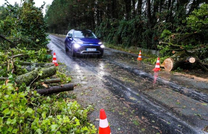
After entering the territory from the coast of Vendée, on the night of Sunday January 5 to Monday January 6, 2025, storm Floriane is currently crossing France from west to east. Wind gusts of 90 to 100 km/h are expected. They will be able to reach up to 110 km/h locally.
Météo-France lifted its orange alert for Vendée this Monday at 8 a.m., but 20 departments from Pays de la Loire to the Grand Est region, via the Loire and the Rhône, remain on orange alert for strong winds. including Indre-et-Loire and Loir-et-Cher.
Already gusts over 100 km/h
For the moment, the strongest wind gusts have been recorded by Météo-France in the Rhône (112 km/h in Reventin) and in the Loire (107 km/h in Pilat-Graix).
According to the Meteociel website, in recent hours, the wind has also reached up to 100 km/h on the island of Ré (Charente-Maritime), 99 km/h on the island of Yeu (Vendée), 97 km /h in La Rochelle (Charente-Maritime), 91 km/h in Châteauroux (Indre), 90 km/h in Niort (Deux-Sèvres), 84 km/h in Bourges (Cher) or 80 km/h in Romorantin (Loir-et-Cher).
After a first peak, tonight, Météo-France predicts a second peak “at midday” while the storm will gradually shift towards the Paris region, then towards the north-eastern regions, in the afternoon, before “evacuate quickly to Belgium”.
France


