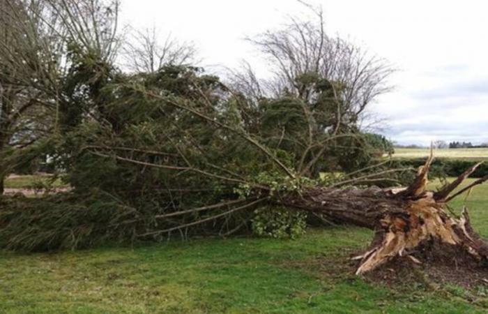
The situation is deteriorating sharply with the passage of a virulent disturbance this Monday over France causing a gale called Floriane over a large part of the country. At the same time, Auvergne-Rhône-Alpes is experiencing a lasting episode of strong southerly winds, between Saint-Étienne, the north of Isère, the Lyon region and the Saône Valley.
Depression Floriane crosses France this Monday. The Weather Channel invites you to follow the evolution of this bad weather LIVE in this article.
Gale from the southwest to the northeast and lasting episode of strong winds in the Center-East
At 08:05the mildness is remarkable throughout the country, thanks to the Floriane depression which pumps a subtropical air mass over France.
At 7:43 a.m.the wind continues to strengthen in the west and particularly in the heat where we exceed 120 km/h locally as in Fécamp in Seine-Maritime. The wind will continue to gradually strengthen both over the Atlantic arc and in the northwest over the hours.
At 07:21the rains are also abundant, alongside this gale. The 30 mm are exceeded in the Grand-Est in the Meuse for example, but also in the Ardèche Cévennes, which will experience sustained rain until the evening of this Monday. Be careful if you take the road towards the relief during the day.
At 7:06 a.m.the wind continues to strengthen in Auvergne-Rhône-Alpes with gusts quickly reaching 80 km/h between Lyon, Saint-Étienne, the north of Isère and the Saône Valley. This episode of strong wind continues until this evening in this sector, with gusts sometimes around 90 km/h, up to 110 km/h on the Pilat massif, the Lyonnais mountains, the Chartreuse and the Vercors.
At 06:12the wind strengthens significantly on the Channel coast with up to 124 km/h in Barfleur.
France


