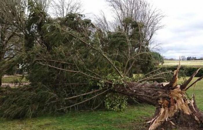
A lasting episode of strong winds in the Center-East
The wind continues to strengthen in Auvergne-Rhône-Alpes with gusts quickly reaching 80 km/h between Lyon, Saint-Étienne, the north of Isère and the Saône Valley. This episode of strong wind continues until Monday evening in this sector, with gusts sometimes around 90 km/h, up to 110 km/h on the Pilat massif, the Lyonnais mountains, the Chartreuse and the Vercors .
Gale Monday © the weather channel
Gale from southwest to northeast
In the middle of a vast low pressure system encompassing all of Western Europe, a small secondary minimum breaks away from this whole and plunges towards the Bay of Biscay.
This secondary digging, powered by a powerful jet stream at 200 km/h, crosses France this Monday from west to east, causing a gale in many regions.
This gust of wind begins Monday mid-morning by the north of Aquitaine and Limousin with gusts of 100 km/h from the Gironde coast to the Vendée coast.
Very quickly, this gale progresses inland, reaching the Center Val de Loire to the south of the Paris region with gusts of 90-100 km/h in the middle of the dayaround 3 p.m.
Then, between 4 and 8 p.m.it is the turn of the north of Franche-Comté, Burgundy then Champagne, Lorraine and Alsace to be swept by this gale with gusts reaching 90 to 100 km/h .
From 9 p.m.the last strong gusts are expected over the Vosges then the Alsace plain before an improvement.
France


