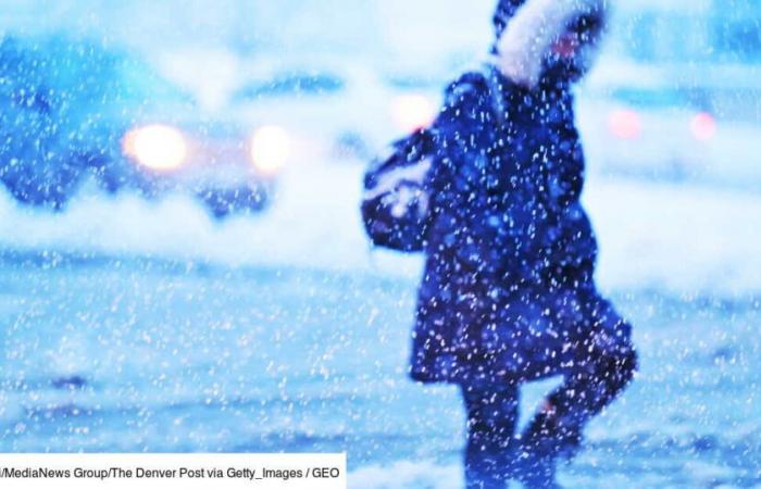
“In Chicago for example, you have to go back 20 or 30 years to find cold of this intensity”confided a Météo France analyst to GEO in January 2019, when the thermometer showed up to -31 degrees Celsius. Six years later, the Eastern United States expects to break new records. The culprit has not changed: it is in fact the polar vortex of the Arctic.
A time “dangerously cold” from the North Pole should hit the eastern half of the United States next week, with low temperatures “potentially record-breaking” in certain regions, warn experts cited by Live Science on January 2, 2025.
According to the CNN Weather channel, consulted by our colleagues, it could be so cold in Florida that iguanas will fall from trees as was the case, for example, in January 2022 – these animals in fact entering a state of temporary paralysis when the outside temperature crosses a certain threshold.
17°C below average
Temperatures are expected to drop as much as 17 degrees Celsius below average for this time of year, with a risk of subzero temperatures as far away as the Gulf Coast and the Florida Peninsula, Live Science reports.
Although it is “too early” To make accurate temperature forecasts, the AccuWeather website says this month could be January “the coldest in over ten years”. Arctic weather is expected to last “at least until mid-January”.
“The key thing is that the Arctic episode will last several days and not be limited to a quick event of one or three days”said Paul Pastelok, senior long-range forecaster at AccuWeather.
Heavy snowfall and frozen pipes
The weather site mentions the possibility of winter storms, “damage” on electrical networks, “heavy snowfall” over the Great Lakes and the Northeast – with a risk of accumulating snow in major cities such as New York, Chicago, Boston, Philadelphia and Washington DC – as well as “frozen pipes” in the most exposed houses.
“Significant travel disruptions” are to be expected, our colleagues also learned from the National Weather Service. The only certainty to date: the glacial phenomenon is fueled by large-scale pressure changes and by a “shift of the polar vortex”spotted Live Science on Severe Weather Europe.
This vast vortex surrounds the polar regions and is driven by winds which rotate, in the northern hemisphere, counterclockwise – from east to west, explained GEO in 2019. If this rapid circulation allows maintain cold air at high latitudes, however, the vortex sometimes releases “bubbles” of cold air then heading towards lower latitudes.
“Some theories suggest that global warming could make polar vortex bursts more frequent or jet-stream more sinuous” but the evidence is still lacking to confirm it and contrary hypotheses exist, the Météo France forecaster told GEO. Since then, 2024 is on the way to becoming “the hottest year ever observed” while warming temporarily exceeds 1.5°C (World Meteorological Organization).


