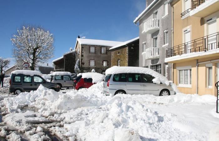
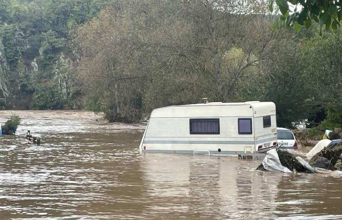
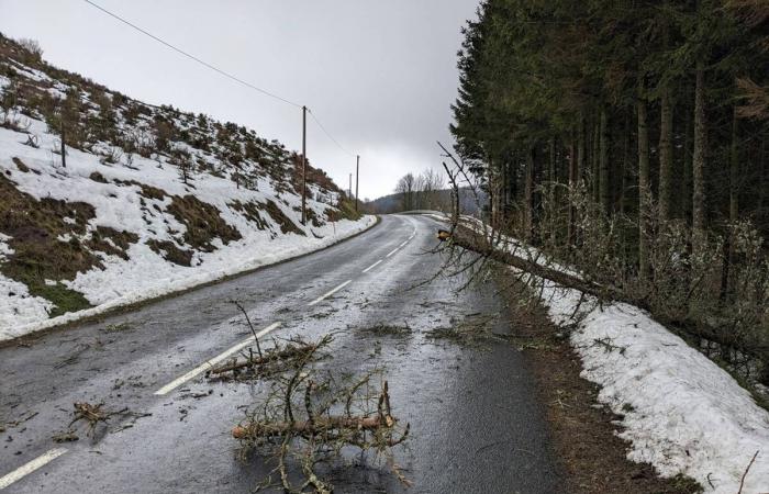
The year that ends today leaves the feeling of having been particularly rainy, with sustained precipitation from March until the beginning of summer, then again in the fall with the floods and finally with snow in December. But what is really happening in terms of statistics and data for 2024?
More than double than the year 2022!
“It’s not just an impression, it’s a reality!” confirms a MétéoNews forecaster. While the normal is 682 mm of precipitation over the year, in 2024 we are at 963.2 mm at the Le Puy-Loudes weather station. A figure that will not change between now and the evening of December 31 given current conditions with dry weather. Over the last 40 years, there have only been four wetter ones. » If we look at the results of the Le Puy-Loudes weather station, a reference station in Haute-Loire*, the figures for the year are eloquent to say the least. It therefore fell, over the whole year, 963.2 mm, a figure 41% higher than normal. It is also more than double the year 2022 on this station. Two years ago, a year of great drought, only 481.5 mm fell over the entire year. The average precipitation for the period from 1981 to 2010 at this same station is 678.3 mm. If we look at the last 40 years, 2024 is in fact the fifth rainiest year, behind 1996, the record year with 1,148.7 mm, then 1994 (1,100.8 mm), 1993 (1,009.8 mm). ) and finally just behind 1992 with 995.6 mm.
“The rainiest month was March with three times more rain than normal,” MétéoNews further details. The month which records the most rain is not October as one might think (the floods started in Ardèche and on the Mézenc), nor that of March, but the month of May with a cumulative amount of 144 mm. Temperature-wise, mildness dominates this past year. “It is thanks to the nights that the average temperature, 10.4°C over the year, is 1.4°C higher than normal. As it rained a lot, the nights were more often cloudy and it was therefore less cold. »
In terms of sunshine, the year should end around a total of around 1,900 hours (1,891 hours on December 30 at the end of the morning). That's a figure barely below normal. This is due to the rains in spring and early summer, but the values have risen significantly thanks to six weeks of relatively good weather between mid-July and the end of August. For comparison, the sunniest year was 2022 with 2,395 hours while the least sunny was the year 2000 with only 1,593 hours of sunshine.
2024 ends with dry and cold weather, very wintry. Next year will start a little more gloomy with the return of precipitation and colder weather from Friday.
The Le Puy-Loudes weather station is a reference station because it is the oldest in the Haute-Loire department with all this precise data. It was put into service in December 1983, so it was 40 years ago last year. Météo-France had installed its departmental center there which closed its doors in 2013. It was the Météo France station in Aurillac which then took over for the entire sector. The Cantal station has just closed its doors on October 1, 2024.
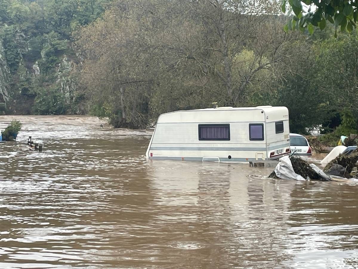
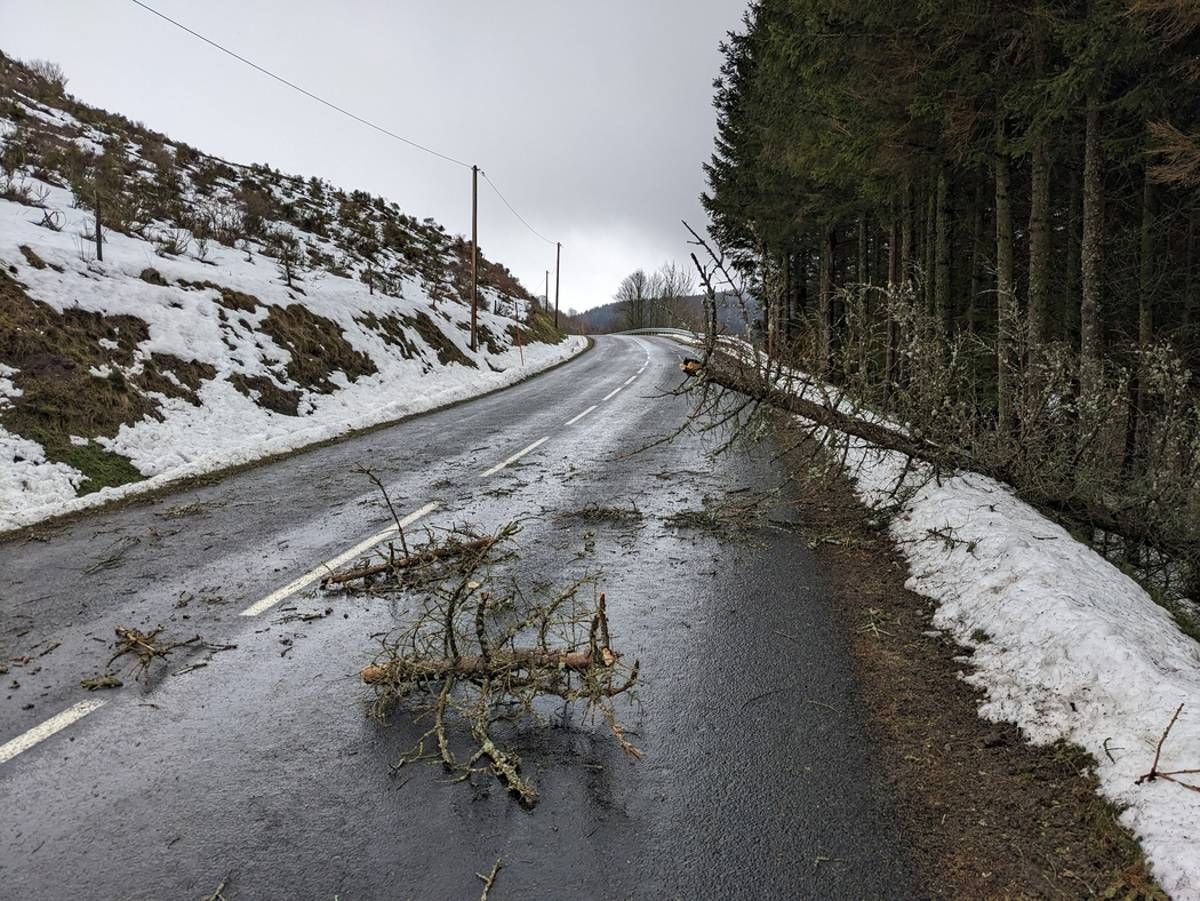
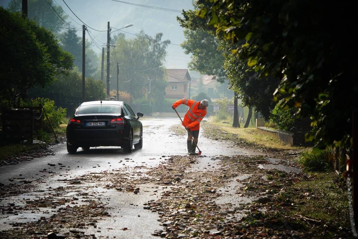
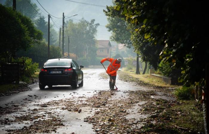
Several storms affected Haute-Loire which was on several occasions on orange alert for this type of phenomenon. One of the most sudden and strongest storms took place on Friday June 28 in the Retournac and Chamalières-sur-Loire areas, but also in Brioude and Blesle. Flooded cellars and garages, multiple mud and stone flows and landslides required the intervention of firefighters on more than 50 occasions. Photo lionel ciochetto

