Formerly connecting the village of Nasbinals to Avignon, the GR® “Chemin Urbain V®” has just been extended northwards to Saint-Flour. This extension of almost 100 km aims to relieve congestion on the hiking trails in North Lozère.
The GR® long-distance hiking trail (GR® 670) “Chemin Urbain V®” connects the places where this Lozère pope left his mark. This GR® started until today in the village of Nasbinals on the Aubrac and ended in Avignon. But this long-distance hiking trail has encountered stagnation in attendance in recent years. A problem partly due to the lack of access to the starting point by public transport, which has the effect of slowing down tourists. This is why, following consultations between the Departmental Hiking Committees of Cantal and Lozère and with the agreement of the communities crossed (municipalities and communities of municipalities), it was decided to extend it from Nasbinals to Saint -Flour to allow access by public transport (A75, SNCF station).
Many new villages crossed
Following the publication of the new topoguide at the end of April, the characteristic red and white marking of the GR® was carried out in the northern section of Lozère from the commune of Saint-Juéry to Nasbinals (previous starting point) by volunteers from the FFRandonnée Lozère. This extension now crosses the villages of Saint-Juéry, Courbepeyre, Fournels, Pruniérette, Genestuéjols, La Chaldette, Brion, Escudière and Recoulettes.
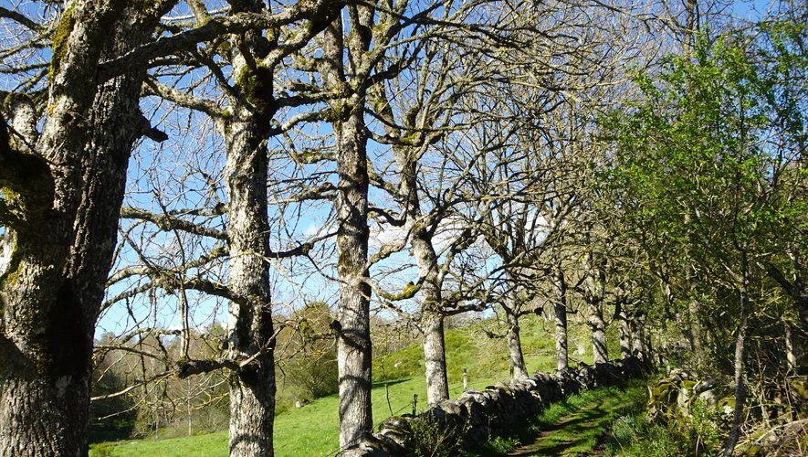
The GR® “Chemin Urbain V®” now extends from Saint-Flour to Avignon over 435 km following in the footsteps of Guillaume de Grimoard, born in the Cévennes, elected pope in 1362 under the name of Urban V, last pope to Avignon. The new route between Saint-Flour and Nasbinals will allow you to discover the Truyère gorges and the Garabit viaduct, the Bès gorges, the Fournels castle, the Cheylaret rock, the Chaldette thermal baths and the vast spaces of the Aubrac.
Strengthen the network of long-distance hiking trails
The extension uses the GR® de Pays Tour des Monts d’Aubrac for three-quarters of its route, which is therefore no longer marked in yellow-red but in white-red for the common sections between the routes of the two GRs. ®.
A project that excites the hikers met during the marking. This bodes well for establishing the reputation of this new roaming and taking some of the pressure off the Way of Saint-Jacques by strengthening the north-south network of long-distance hiking trails in the territory of the community of communes of the Hautes Terres de l’Haute. Aubrac.


