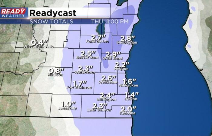
The first measurable snow of the season is just about here! A winter weather advisory starts at 6 AM Thursday and goes until Noon. This will be a brief time period of snow, but moderate to heavy snow is expected during this time causing difficult travel right during the heart of the morning commute.
In addition to a winter weather advisory, a wind advisory has been newly issued from 6 AM Thursday to 6 PM. The strong wind gusts could lead to blowing snow but with the heavy, wet, slushy nature of the snow it won’t cause any blizzard conditions. The wind will also push wind chills into the teens at times on Thursday so make sure to bundle up!
Wind gusts on Thursday are expected to peak around 45 mph! The wind will stay strong with gusts to 30 mph then we finally get a lighter wind on Saturday.
As of 5 AM, we’ve had persistent flurries and some light snow showers since Wednesday afternoon but the area of heavy, steady snow is still just to our north. That heavy snow is expected to quickly move south arriving in the Milwaukee/Waukesha Metro area around 6 AM and by 7 AM all of southeast Wisconsin should have the steady snow.
Here’s a radar image that will update with time:
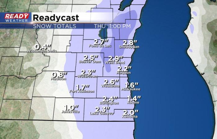
By noon most of southeast Wisconsin has seen the end of the accumulating snow with the snow mixing and switching to snow around the midday hours then all rain showers during the afternoon and evening. The accumulating snow in the morning should reach a range of 1-3″ with highest totals in the Kettle Moraine where some areas could get over 3″ and lowest totals near the lakefront.
Download the CBS 58 Ready Weather app to track the snow and wind.
Belgium


