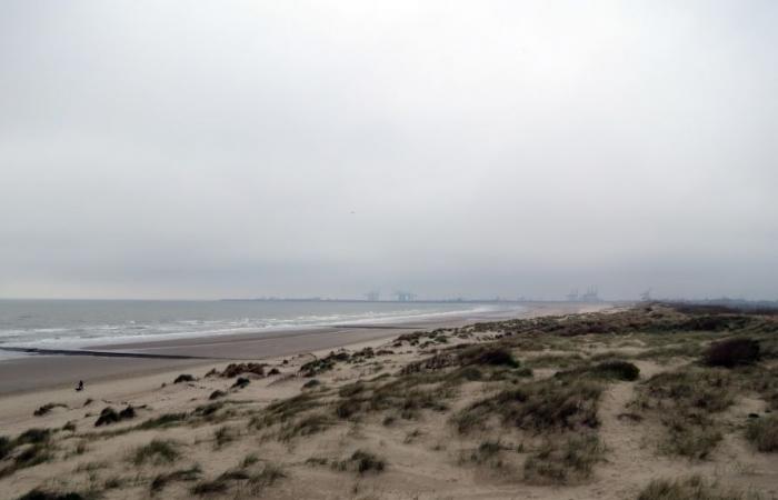
A first storm has already hit our country on the first day of the year, reports David Dehenauw. Should we fear the next few hours?
The year 2025 has only started a few hours ago, and a first storm has already been observed on Belgian territory, meteorologist David Dehenauw said on the social network X.
“We have already recorded an average wind of nine Beaufort at the Westhinder post (at sea) today. The first Belgian storm of 2025 is born”writes the scientist from the Royal Meteorological Institute (IRM).
The day before, the MRI had warned of strong winds on New Year’s Day. On the coast, a yellow alert for gusty winds is in effect. This Wednesday, “Gusts of up to 75 km/h, or locally a little more, are expected in the interior. On the Coast and in the Hautes Fagnes, they could reach 90 km/h”we can read on the IRM website.
The Netherlands also experienced its first storm of the year. This is the first storm observed in the country on New Year’s Day in 30 years.
Today’s forecast
This Wednesday, the first day of the New Year, the weather will often be very cloudy and windy. At the start of the morning, slippery conditions will still be possible in Upper Belgium. At the end of the afternoon, an area of rain will invade the north-western half of the country from the coast and the Netherlands. The maxima will vary between 2 or 3 degrees in Haute Ardenne and 11 degrees in the far west. The southwest wind will strengthen to become generally quite strong in the interior and strong to very strong at sea. Gusts of up to 75 km/h, or locally a little more, are expected in the interior. At the coast and in the Hautes Fagnes, they can reach 90 km/h.
This evening and night, the rains will reach the entire country. In Upper Belgium, the precipitation will take on a wintry character. It will be slush, or even snow above 400 or 500 m. At the end of the night, drier weather and clearings are expected in the northwest. The minimums will oscillate between -1 degree in Hautes Fagnes and +5 degrees on the coast. The south to southwest wind will still be strong for the first few hours (with peaks of 70 to 80 km/h or a little more) before losing intensity during the night. It will finally become weak to moderate from west to northwest late tonight.
Less wind and risk of snow on the heights tomorrow
Tomorrow, the last precipitation will affect the south-east of the country in the morning, and will take the form of snowfall. Behind, the sky will be divided between broad clearings and cumuliform clouds causing (winter) showers. The maxima will be between 0 and 4 degrees south of the Sambre et Meuse furrow, and around 5 or 6 degrees elsewhere. The wind will shift to the northwest sector; it will generally be weak inland and moderate on the coast.
Winter weather Friday
On Friday, following a night marked by widespread night frosts, the risk of slippery conditions will have to be taken into account. The day should start with gray weather in the Ardennes (and probably freezing fog in Hautes-Fagnes) and broad clearings elsewhere. Then, the sky will become changeable everywhere with some winter showers, especially in the north and northeast of the country. The maxima will be between -3 and +1 degrees south of the Sambre and Meuse furrow, between +1 and +3 degrees over a large central part of the territory, and between +3 and +5 degrees in the coastal region. The wind will be moderate from the west to southwest inland, and quite strong to sometimes strong from the northwest along the seaside.
Quid you ween-end?
On Saturday, the sky will be divided between cloudy fields (sometimes numerous, especially in the Ardennes) and clearings. The weather will remain dry in many places but it will again be quite cold with maximums of -2 to +1 degrees in the Ardennes and +1 to +4 degrees elsewhere, under a weak to sometimes moderate west to south wind. -west, returning later to the south to southeast sector. During the following night, a disturbance will approach our country via France and could temporarily give rise to snowfall, or even freezing rain.
Sunday will be very cloudy and very rainy. In the morning, more (slush) snow or freezing rain can be expected. During the day, the weather will become noticeably milder with, towards the evening, temperatures of 5 to 6 degrees in the Ardennes and up to 11 or 12 degrees in the west. The south-east wind will quickly become quite strong, and strong at sea.
weather storm mri weather forecast wind


