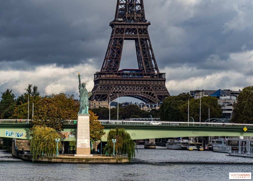


The weather is still very unstable and a risk of thunderstorms is once again announced over part of France this Saturday June 29, 2024. Also, Météo France places a large number of departments on yellow alert for thunderstorms today. Paris, like all the departments of Île-de-France, are affected by this alert. We take stock of the forecasts.
Will thunder rumble this Saturday June 29 2024 to Paris and Île-de-France ? It is more than likely. New storms could hit a large part of the country this weekend. Also, Meteo France place of many departments of France in yellow alert for thunderstorms for this day of June 29.
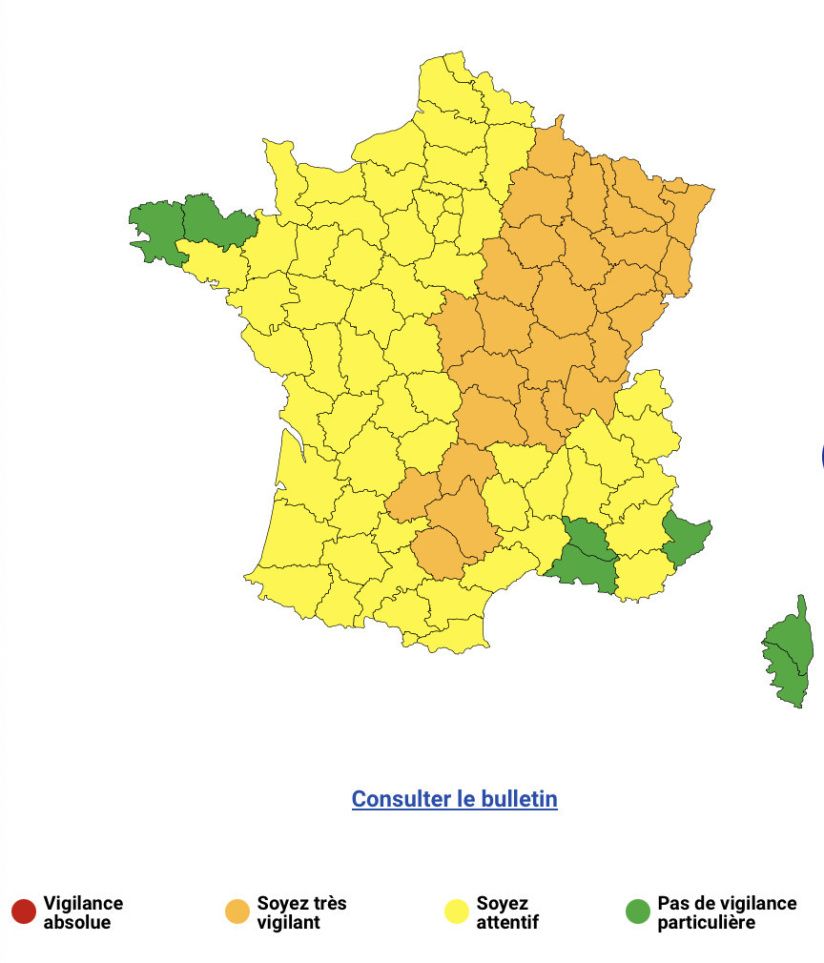
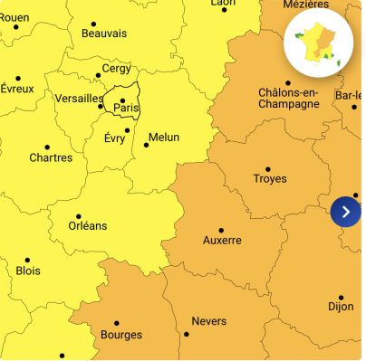
Météo-France updated its alert map at midday, placing 28 departments in orange alert for thunderstorms, while Île-de-France remains on yellow alert. Among the departments affected by the orange alert, we find Cher, Nièvre, Yonne, Côte-d’Or, and many others spread from the center to the east of the country.
The altitude depression, called “cold drop”, is the cause of this stormy degradation. It is currently moving back over Spain towards the Pyrenees, causing frequent storms and strong electrical activity in Aquitaine, with local precipitation reaching 30 to 50 mm and hail observed in places.
After several days of intense heat, a radical change in weather is expected over a large part of France this Saturday, with violent thunderstorms possibly accompanied by hail. In Ile-de-Francethe situation is less worrying, although storms are expected from the afternoon in Seine et Marneas well as in the Val-de-Marne and the North of Essonne. For the rest of the region, we expect gray weather and rain with significantly cooler temperatures, around 21°C at the start of the afternoon in Paris.
In short, residents of the Paris region and tourists must therefore remain vigilant, especially in risk areas, even if the region should be generally less affected than Bourgogne-Franche-Comté or the Grand-Est, where rapid rainfall accumulations of 50 to 80 mm are expected. Météo-France continues to monitor the development of the situation and will provide regular updates throughout the day.
Residents and visitors to the region are advised to remain vigilant, follow Météo France updates and take necessary precautions to protect themselves from these severe weather conditions.
Recommendations for Ile-de-France residents
During these periods of bad weather, Meteo France recommends to be careful of thunderstorms, which are synonymous with danger. Here are some recommendations to follow as a precaution:
- limit your movements,
- do not go out with an umbrella,
- take shelter under a building,
- avoid touching electrical wires on the ground,
- move away from posts, gates, trees and watercourses,
- by car, avoid wooded areas.


