The prefecture announces that, as expected, Météo France places the Haute-Marne department on orange thunderstorm alert, this Saturday, June 29.
In the afternoon, isolated thunderstorms could occur, accompanied by possible wind gusts of between 40 and 60 km/h.
Around 8 p.m., a more widespread stormy deterioration should reach the Grand Est region before continuing its progress towards the north.
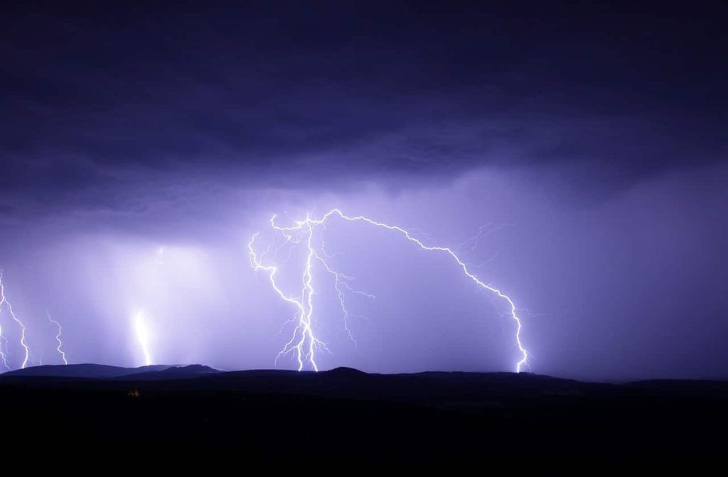
Large hail, strong winds and heavy rainfall
These storms are particularly virulent. They are accompanied by violent gusts of wind (80 to 100 km/h, up to 120 km/h possible locally), large hail and heavy accumulations of rain (40mm in less than an hour and very locally up to at 80mm for the entire episode).
This marked storm zone should gradually evacuate through the north-east of Lorraine and Alsace after midnight.
Behind, still locally stormy rains are expected to continue until the morning of Sunday June 30.
Recommendations for orange thunderstorm alert
The Haute-Marne prefecture invites you to limit your travel and take shelter.
Avoid outdoor activities and trips to the mountains, forests or near waterways.
Do not take shelter under an umbrella, under trees or against a wall.
Instead, take shelter in a solid building, or failing that, in your vehicle.
Do not run to avoid lightning.
To secure your property that may be damaged.
Avoid using your phone and electrical appliances.
Do not touch any wires that have fallen to the ground under any circumstances.
To follow the evolution of the situation, it is ICI.


