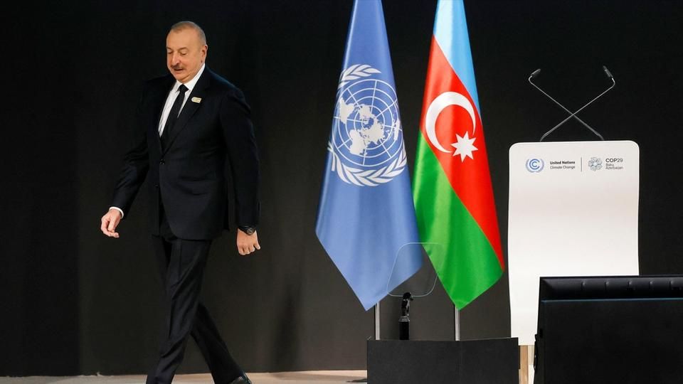
While COP29, currently being held in Baku, is due to end this Friday, the climate summit highlighted the tensions between France and Azerbaijan.
Even the climate issue does not seem to ease tensions, even if only temporarily. As the end of COP29, currently being held in Baku, approaches, a speech by Azerbaijani President Ilham Aliev, dated November 13, provoked the anger of the French government.
During a speech, the head of state, accused by Paris of interference during the recent riots in New Caledonia, insinuated that the “regime of President Macron” had “killed 13 people and injured 169 people during the legitimate protests of the Kanak people in New Caledonia.
“After all that, France has not been denounced, neither by the European Commission, nor by the European Parliament,” he added, to the applause of part of his audience.
Paris summons the ambassador
In reaction to these invectives, the French Ministry of Foreign Affairs announced that it had summoned Azerbaijan's ambassador to France, Leyla Abdullayeva, on Tuesday. “Azerbaijan’s hostile actions must stop,” the Quai d’Orsay said in a statement.
In the process, French Minister Agnès Pannier-Runacher, responsible for climate, announced that she would not go to COP29, accusing Baku of exploiting “the fight against climate change for an unworthy personal agenda”.
“The direct attacks against our country, its institutions and its territories are unjustifiable,” lambasted the minister, “the comments made by Azerbaijan in favor of fossil fuels are also unacceptable,” she added, judging this “ unworthy of a COP29 presidency.
No member of the French government is participating in the major climate conference, one of the main issues this year relating to climate finance. Paris, however, sent a negotiating team of around forty experts there.