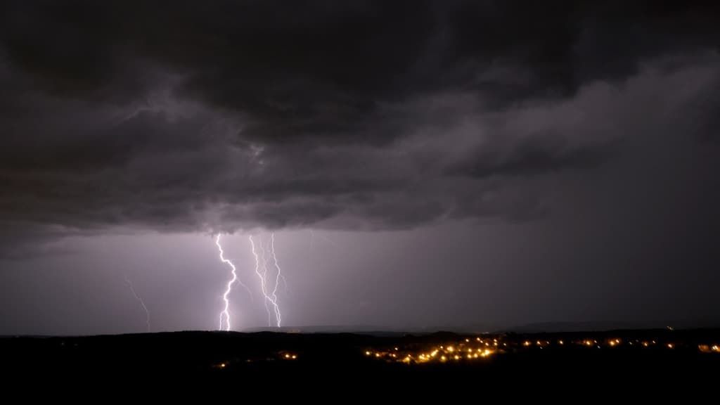

Heavy rainfall, lightning, squalls and hail are expected in the strong summer storms announced by Météo-France for this Saturday, June 29. 31 departments are on orange alert.
An orange “thunderstorms” alert has been launched for the day of this Saturday, June 29 in 31 departments while a strong stormy episode will cross most of the country, indicates Météo France.
From the end of the night, from Landes to Poitou, strong storms will occur. They will mainly be accompanied by heavy rain, and locally by hail.
List of departments concerned: Landes, Gironde, Charente-Maritime, Charente, Deux-Sèvres, Vienne, Cher, Nièvre, Yonne, Côte-d’Or, Jura, Saône-et-Loire, Doubs, Territory of Belfort, Haute-Marne, Aube, Haute-Saône, Ardennes, Marne, Meuse, Bas-Rhin, Moselle, Vosges, Meurthe-et-Moselle, Allier, Ain, Cantal, Lot, Aveyron and Tarn.
Rainfall accumulations over a few hours could reach 50 to 80 mm. In the morning these storms will extend to Centre-Val-de-Loire, while from Pays de Loire to Ile-de-France, Champagne-Ardenne and Lorraine, cloudy passages may give rise to locally stormy showers but more isolated.
Likewise, from Occitanie to the Provence-Alpes-Côte d’Azur region, the sky will be very cloudy and a few showers will be possible from the morning. But at the same time, a more marked stormy deterioration will approach the Pyrenees, and will quickly extend towards the Massif Central.
In the afternoon, from the east of the Pyrenees to Limousin, then to Auvergne Rhône-Alpes, the storms will become strong and multiply, giving high intensities of rain, sometimes hail and powerful gusts of wind.
Some preserved regions
This area of thunderstorms will move towards the Center-Val-de-Loire, the east of the Ile de France and Burgundy Franche-Comté at the end of the afternoon, to affect the Grand-Est in the evening, with still heavy rains, violent gusts of wind and hail, particularly in the northeast of the country where these storms will be the most violent.
Only the regions from Brittany to Nord-Pas-de-Calais, as well as Corsica, will stay away from these bad weather, and will maintain calmer but cloudy weather. The southeast wind will blow quite strongly until the beginning of the afternoon from PACA to the Massif Central.
How to protect yourself against the proliferation of mosquitoes?
Morning temperatures will be between 8 and 13 degrees from Brittany to Belgium, from 15 to 20 degrees elsewhere, up to 21 to 22 degrees in Corsica. In the afternoon, it will be 18 to 23 degrees near the Channel and the Atlantic, 23 to 28 degrees elsewhere, but up to 27 to 32 degrees from the Grand-Est to Berry, Rhône-Alpes and PACA, and in Corsica, locally 34 in the Alsace plain and on the Isle of Beauty.


