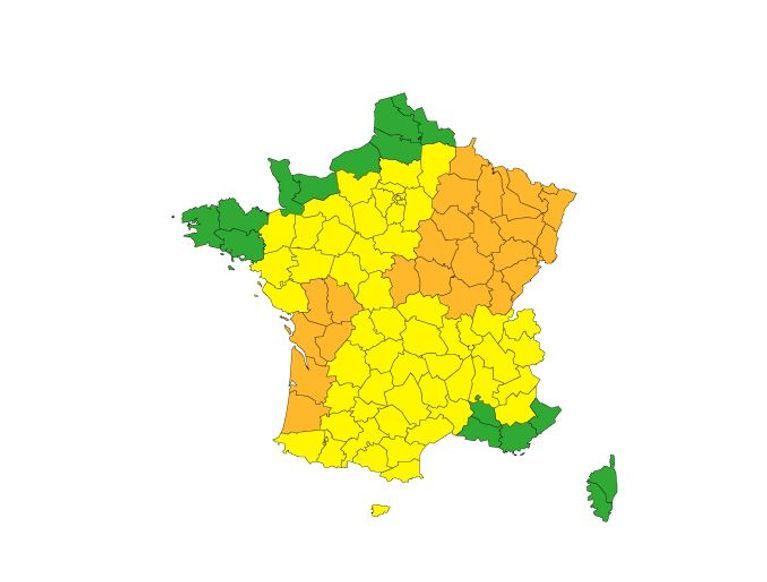
On Saturday, Météo-France placed 25 departments on orange alert due to a severe storm situation.
June 29, 2024
This live is now over.
Follow our current live streams:
June 28, 2024
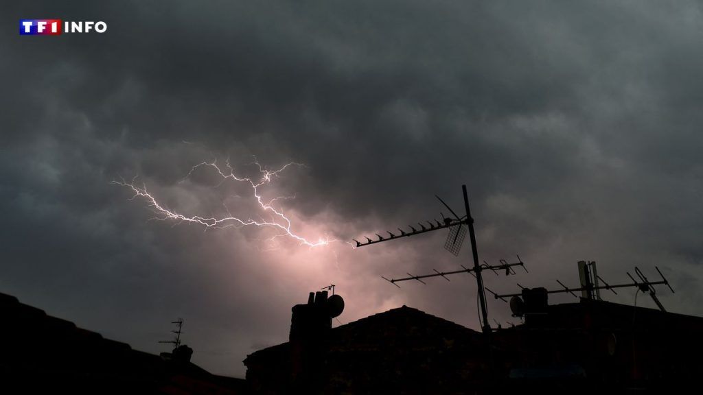
THUNDERSTORMS
Auvergne and western Rhône-Alpes were affected by hail this Friday.
June 28, 2024
WHAT EXPECTS YOU
Tomorrow, “a large part of the territory” will be affected by “sometimes strong” storms, according to Météo-France which warns that a “further extension of orange vigilance towards Auvergne-Rhône-Alpes, Centre-Val- de-Loire, Nouvelle-Aquitaine and Occitanie” is possible.
June 28, 2024
WHAT TO EXPECT
A second burst will circulate from the southwest to the northeast of the country during the afternoon/evening. Thunderstorms will be more violent over a large northeastern quarter of the country, with the possibility of cumulative rainfall of 50 to 80 mm in a short time, very strong gusts (locally 100 km/h, or more) and large hail .
June 28, 2024
REAL-TIME MAP
Keraunos, the French Observatory for Tornadoes and Violent Storms, has published an interactive map on its website that allows you to follow the progress of storms in the coming hours.
June 28, 2024
THE SOUTHWEST FIRST HIT
“Initially, strong thunderstorms affect the regions of Landes in Poitou at the end of the night. They are mainly accompanied by heavy rain, and locally by hail. Accumulated rain over a few hours can reach 50 to 80mm,” warns Meteo France.
June 28, 2024


