There are now 30 departments which are placed on orange vigilance by Météo France this Wednesday, October 9 for risks of wind, rain-flooding and/or floods.
Are concerned: Aisne (rain-flood), Ardennes (rain-flood), Aube (rain-flood), Eure-et-Loir (rain-flood), Indre-et-Loire ( rain-flood), Loir-et-Cher (rain-flood), Loiret (wind), Loire-Atlantique (rain-flood), Loiret (rain-flood), Maine-et-Loire (rain-flood), flood), the Marne (rain-flood), the Mayenne (rain-flood), the Oise (rain-flood), the Pyrénées-Atlantiques (wind), the Hautes-Pyrénées (wind), the Rhône (wind), Haute-Saône (floods), Saône-et-Loire (floods), Sarthe (rain-flood), Paris (rain-flood), Seine-et-Marne (floods and rain-flood), Yvelines ( rain-flood), Deux-Sèvres (rain-flood), Vendée (floods and rain-flood), Vosges (floods), Essonne (rain-flood), Hauts-de-Seine (rain-flood ), Seine-Saint-Denis (rain-flood), Val-de-Marne (rain-flood) and Val-d’Oise (rain-flood).
“Associated with the depression Kirkheavy and lasting rains in the Loire region, the Paris region and Champagne-Ardennes. Very strong southerly wind over the west of the Pyrenees and Lyonnais, which can sweep across the plains and into the valleys,” notes the meteorological institute.
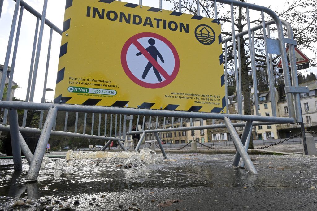
“Of the continuous and sustained rain will concern the regions extending from Vendée and Pays de Loire to the Paris region, the south of Picardy and Champagne-Ardennes. The accumulations over the whole day will be very high, they could reach 50 to 70 mm in the Paris basin and Champagne-Ardennes and 60 to 80 mm, or even locally 90 mm heading towards the Pays de Loire and Vendée. These are quantities that usually fall within a month. This precipitation will occur in a context of already very wet soils and could therefore cause flooding,” specifies Météo France in its bulletin.
The southerly wind will strengthen quickly and blow very strongly over the west of the Pyrenees on Wednesday, gusts could reach 120 to 150 km/h on the summits and 100 to 110 km/h in the valleys and plains. With the passage of depression Kirk, the wind will shift suddenly to the west at the end of the day with gusts still close to 100 km/h.
On the Loire and the Rhône, we expect 100 to 110 km/h temporarily in the Gier valley and in the south and east of Lyon.
Read more