The anticyclone still protects us this weekend and until the end of the year, then the beginning of 2025 will mark the return of more unsettled weather.
Forecast for the northern half: calm and gray weather until Tuesday then return of rain and wind
Anticyclonic conditions continue for the start of the second week of vacation. However, as always at this time of year, anticyclone does not rhyme with sunshine. On the contrary, you will continue to have very gray and humid weather with stubborn gray weather and even a few drizzles this Sunday. Only the north-east should do well this Saturday with a dominant sun, sun which will be limited only to the Vosges peaks and the Morvan on Sunday and Monday. New Year's Eve will also pass calmly with potentially chances of clearing during the day, thanks to the establishment of an increasingly sensitive southwest wind near the Channel.
For New Year's Day, a clear deterioration is expected on the Channel coasts with the return of rain and wind. Calmer and drier weather should return quickly for the weekend. Temperatures below normal this weekend will rise again at the start of the week and then drop again at the very end of the week. However, they will remain close to normal.
Holiday Trend © The Weather Channel
Forecast for the southern half: calm and mild weather until January 1st then return of snow to the mountains
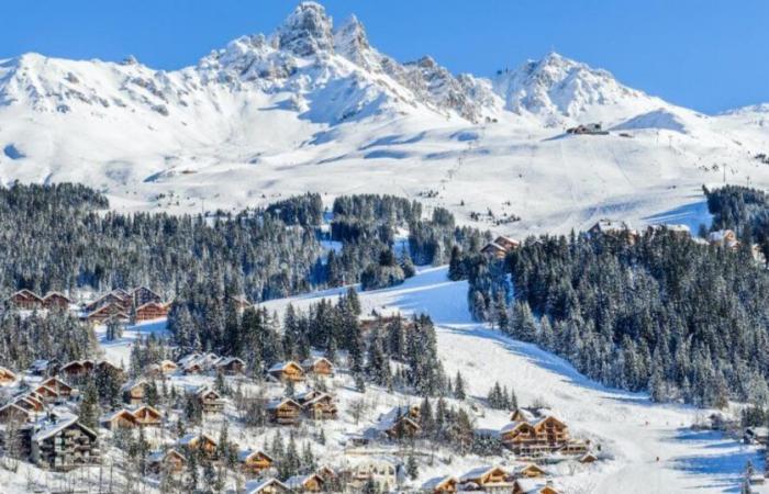
If you are in the southern half, you benefit from significantly sunnier and milder weather. This weekend, sometimes freezing fogs are present in the southwest, as well as in the center-east while the sun largely dominates in the mountains and in the southeast. The feeling is even spring-like near the Mediterranean with values ranging from 12 to 18°C. Little change at the start of the week with still some grayness in the southwest in the morning but nice clearings in the afternoon. Elsewhere, the sun will always reign supreme, especially if you are in the mountains and near the Mediterranean. New Year's Eve will also take place under calm and dry conditions, although fog could be present in the southwest and some maritime inlets around the Gulf of Lion. The wind will strengthen near the Channel. Wednesday January 1st will be the last sunny and dry day with even some mildness in the southerly flow. Thursday will see the return of rain and especially snow at low altitude across all of the massifs in the evening. It will therefore be the most turbulent day of the week, since from Friday, clearings could return, even if instability will persist between the Alps, Corsica and the Pyrenees with snow from 800 to 1200 meters depending on the massifs.
A new anticyclonic and dry period is then expected after the holidays and the start of the school year, which may not necessarily mean sunshine for everyone.


