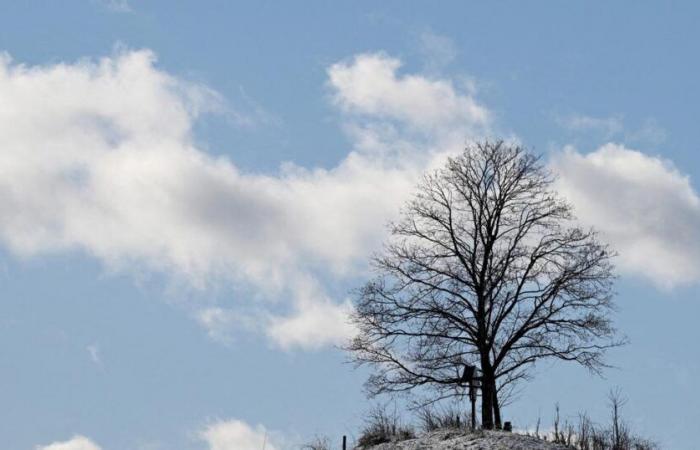
On this Tuesday, January 21, clouds are arriving from the west with the arrival of rain. The weather remains dry otherwise, but is becoming increasingly cloudy.
This Tuesday, January 21, less severe frosts between 0 and -2°C and winds of up to 70km/h
An overcast sky
In the morning, the clouds are low and numerous between southern Brittany, the Pays de la Loire and in the Garonne valley, as well as around the Gulf of Lion where rain is arriving, particularly in the Cévennes. However, the sun dominates largely in the east according to the Weather Channel*. This morning temperatures are low ranging from -2 to 10°C.
Cloudy skies, wind, and rain…
This afternoon, the sky is becoming increasingly cloudy over the Atlantic arc with some rain while the sky also remains very cloudy between Corsica and the Gulf of Lion, where some rain is also occurring. The Autan wind blows up to 70 km/h in its area. In the southern half, mildness is gaining ground. Maximum temperatures will range from 3 to 16°C.
-In the evening, the rains advance over the territory from Brittany to the Pyrenees and continue from the Cévennes to the south of Corsica. The sky is simply hazy in the east while the south wind is noticeable over the Massif Central.
Trends for the next few days
Wednesday January 22, the rains will affect part of France, particularly the entire northwest quarter with strong winds on the coasts. The arrival of rains will still occur in the south-east with snowfall in the Southern Alps. The territory will warm up with temperatures above seasonal norms with frosts which will regress towards the north-east in the morning.
*The Weather channel is owned by the Le Figaro group.


