
Google is set to update its Maps and Earth apps with even more accurate satellite imagery powered by AI, while also updating Street View views for many countries, including France.
Google Maps has established itself over the years as a reference tool. Indeed, the famous mapping service not only allows you to find the precise location of a place on a map – and in particular to get directions to get there – but also to access images taken by satellite or to view an address through photographs and 360-degree panoramas thanks to Google Street View. At the same time, the web giant also offers an ultra-powerful tool for exploring the world, Google Earth, which allows you to navigate through satellite images and aerial photos, making it easier to explore cities or landscapes. Above all, it offers a 3D rendering allowing you to discover from all angles.
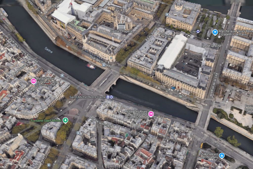
Whatever the tool used and the initial goal sought, you will see that you quickly get caught up in the game, as the coverage work carried out by Google is impressive and the images detailed. But it is clear that the quality of satellite imagery is still improvable. When zooming in significantly, the visuals can sometimes lose sharpness and make the pixels stand out roughly. The Mountain View firm will remedy this thanks to AI.
Google is indeed about to deploy two major updates to Google Maps and Google Earth. They will notably bring even more precise satellite imagery, while Google Street View will be enriched in many countries, as reported by 9to5Google based on a now offline Google blog post.
Google Satellite Images: An Impressive Update
Google is counting on its Cloud Score+ AI model to improve the quality of satellite images. Once applied, it can identify atmospheric elements that can interfere with the visual, such as clouds and their shadows, mist or fog, and remove them. However, it preserves natural elements on the ground, such as snow, ice or mountain shadows. According to Google, the rendering will now offer a “clearer and more precise vision of the Earth” on Google Maps and Google Earth.
At the same time, Google Earth will allow you to travel through time and browse satellite and aerial views of many cities over the last 80 years, on the Web and on mobile. This could already be done, but only going back to 2007. Google takes the example of a “A black and white photo of San Francisco in 1938, taken by pilots at Oakland Airport. During this period, you can see that the harbors were primarily used for shipping and industry — unlike the 2022 image, which shows the docks dotted with restaurants and cruise ships docked in the harbor.” This should keep many users busy for hours!
Finally, Google Street View will benefit from what Google calls one of the most important updates in its history. Eighty countries, including France, Spain, Australia, Argentina, Brazil, Denmark, Japan, Mexico and Switzerland, will be able to benefit from new images. The function is also arriving in Bosnia, Namibia, Liechtenstein as well as Paraguay. These new features should be in the process of being deployed, so they should gradually be available to all users in the coming weeks.


