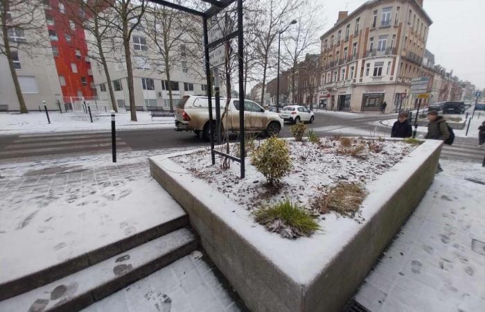
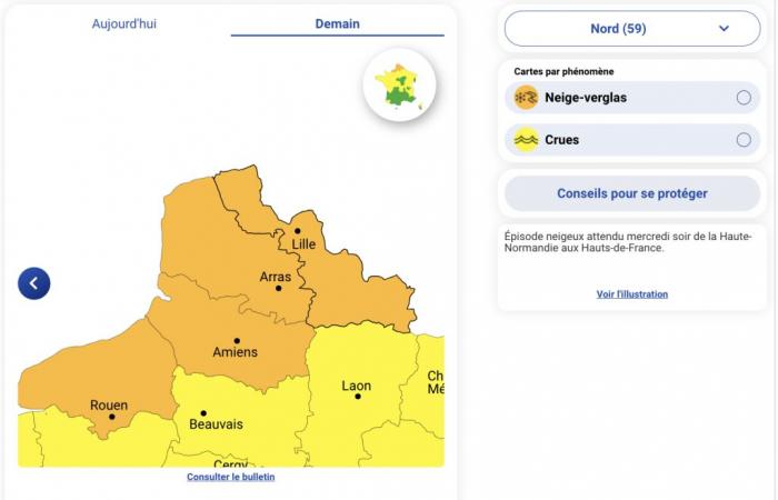
Three departments of Hauts-de-France are placed on orange snow-ice vigilance from this Wednesday, January 8 in the middle of the afternoon. Snow accumulations of 5 to 10 centimeters are expected over the entire episode.
“Be very vigilant.” This is how Météo France is alerting residents and more particularly those in the departments of Nord, Pas-de-Calais and Somme, placed on orange snow-ice alert from this Wednesday, January 8.
5 to 10 centimeters of snow
“As temperatures drop in the afternoon and in contact with the cold air present in the north, the precipitation takes on a snowy character as it progresses over Hauts-de-France”we learn. The expected disturbance should approach southern Picardy then move up into the region. “We expect snow accumulations of 5 to 10 centimeters over the entire episode.” This white layer should appear from Seine-Maritime to Picardy, as well as in the south of Nord and Pas-de-Calais.
Also read -> Some discreet snowflakes in the North this January 7
Météo France also forecasts light frosts during the night from Wednesday to Thursday, which could make the ground very slippery. Furthermore, snowfall may occur again until the next morning, but in more limited quantities, giving 1 to 3 additional centimeters of snow.
What about Oise and Aisne?
Concerning the Oise and Aisne, there is still a minority scenario in which the main snow axis could also extend over the departments going from the east of Calvados to the north of the Ardennes via the west of Val -d'Oise, and less concern the extreme north of Nord-Pas-de-Calais. “Due to the uncertainty, increased vigilance could be issued to these two departments.”
France


