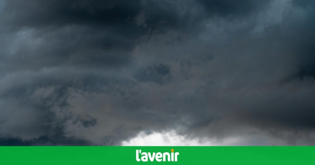
An expert unit from the SPW and the IRM met to take stock of the storms expected late Saturday.
Several storm waves are coming from France towards Belgium. A more active wave will reach an occlusion stage during the night, reach the south of the country around 8:00 p.m. and evacuate definitively towards Germany between 10:00 and 11:00 a.m. Sunday morning. Hail and gusts are also expected.
Higher accumulations are expected in the provinces of Namur and Liège (west) with 25 to 50 mm, as well as in the provinces of Liège (east) and Luxembourg, with locally more than 60 mm.
For Spa-Francorchamps (Spa 24H), we must expect this high range of 50mm over the episode. Eau rouge, particularly reactive, will be closely monitored.
Further showers are expected on Sunday evening but of lesser intensity.
Hainaut and Walloon Brabant will have to deal with thunderstorms on Saturday late afternoon and early evening, bringing more than 20 l/m² in widespread areas, or even more locally.
It is generally strongly recommended not to walk along waterways and check the condition of sewers and gutters. However, there is no risk of overflowing of the large basins, specifies the SPW.
The evolution of thunderstorms and heavy downpours at the municipal level can be followed here.


