Faced with this bad weather, a yellow alert for thunderstorms will be active on Saturday from 5:00 p.m. in the province of Luxembourg, and will change to orange between 10:00 p.m. and Sunday 9:00 a.m. A yellow alert is also planned from 7:00 p.m. in the province of Namur and from 9:00 p.m. in the province of Liège, until Sunday morning.
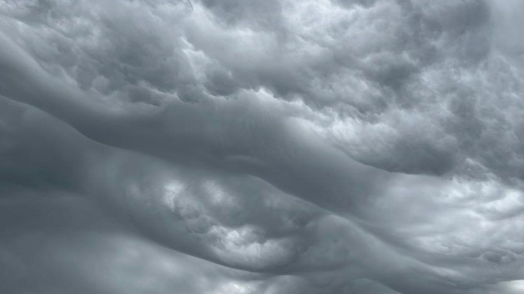
The border areas of the south and east of Wallonia will be affected by a rain-storm zone this Saturday evening, warn the Royal Meteorological Institute (IRM) and the Public Service of Wallonia (SPW). It will only be definitively evacuated to Germany during the course of Sunday morning.
An expert unit from the SPW and the IRM met to take stock of the storms expected late Saturday.
Several storm waves are moving up from France towards Belgium. A more active wave will reach an occlusion stage during the night, reach the south of the country around 8:00 p.m. and will finally evacuate towards Germany between 10:00 a.m. and 11:00 a.m. on Sunday morning. Hail and gusts are also expected.
Higher accumulations are expected in the provinces of Namur and Liège (west) with 25 to 50 mm, as well as in the provinces of Liège (east) and Luxembourg, with locally more than 60 mm.
For this end of the afternoon, heavy rain is also expected in Brussels.
For Spa-Francorchamps (Spa 24H), we must expect this high range of 50mm over the episode. Eau rouge, particularly reactive, will be closely monitored. Further showers are expected on Sunday evening but of lesser intensity.
Hainaut and Walloon Brabant will have to deal with thunderstorms on Saturday late afternoon and early evening, bringing more than 20 l/m² in widespread areas, or even more locally.
It is generally strongly advised not to walk along waterways and to check the condition of sewers and gutters. However, there is no risk of large basins overflowing, the SPW specifies.
Average accumulations of 20 to 40 liters per square meter will be likely, with more localized peaks at 50 l/m², or even a little more.
“We are expecting heavy rainfall in some areas of the south-east of the country,” he said.ndicates the MRI. “The rain will sometimes also affect the center but should be less marked there. The west of the territory should, however, be relatively spared with only a risk of a few showers. The minimums will be between 14 and 17 degrees, under a weak to moderate wind returning to the north to northwest sector.”
The FPS Interior has therefore activated the special number 1722, in order to prevent emergency lines from being clogged with calls for interventions that can wait. In the event of damage caused by a storm or water damage for which assistance from the fire brigade is required, you must therefore dial this number. If a life is in danger, you should call 112.
The FPS also recommends using the electronic counter 1722.be, considered to be “the most direct way to request help from firefighters in situations where no lives are in danger“.
The storms will move away towards Germany on Sunday morning and give way to a lull. In the late afternoon, a second frontal structure, accompanied by an upper-level trough, will reach the west of our country and continue its progression towards the east in the evening and during the night from Sunday to Monday.
These precipitations could also be present in the center of the country during the night, but “their intensity will be less, currently not justifying a warning“, specifies the MRI.
This weekend’s forecast
The sky will be divided between clearings and cloudy fields on Saturday afternoon before the gradual arrival of storms, which will affect the south-east of Belgium more intensely in the evening, announces the Royal Meteorological Institute (IRM) in its bulletin of the mid-day. Temperatures will be between 20 and 22°C on the Coast, 22 and 23°C in the Ardennes and up to 26°C elsewhere, under a north to north-east wind.
The storms announced for the evening will mainly rumble over the regions close to Luxembourg and Germany, with strong gusts of wind and/or hail, warns the IRM. An orange alert has been issued in the province of Luxembourg from 10 p.m. until Sunday morning. A yellow warning will also cover the provinces of Liège and Namur in the evening and during the night. The west of the country will be relatively spared with only a risk of a few showers.
During the night, minimum temperatures will be between 14 and 17°C, under a weak to moderate wind from the north to northwest.
On Sunday, showers will still affect the east of the territory, before the arrival of generally dry weather, under changeable skies. A new area of showers will gradually affect the west of the country, and will affect the center in the evening. The maximum temperatures will range from 18°C at the seaside to 23°C in the center, under a moderate northwest wind.
The start of the week will not be more promising with cloudy weather accompanied by potential showers on Monday, with temperatures between 14 and 20°C. On Tuesday, clouds and rain will still be there, with highs between 14 and 19°C.
irm yellow alert storm rain weather


