Par
Anne-Laure Petit-Hénon
Published on
Nov. 21, 2024 at 7:01 a.m.
; updated Nov 21, 2024 at 8:22 a.m.
See my news
Follow News
Prudence is the mother of safety, and especially on this Thursday, November 21, 2024, if you have to travel. In its 6 a.m. bulletin this Thursday, Météo France placed 54 departments on orange alert for snow, ice and wind.
37 departments are also in yellow due to rain-flooding, floods, waves and even avalanches.
Due to the storm Caetano
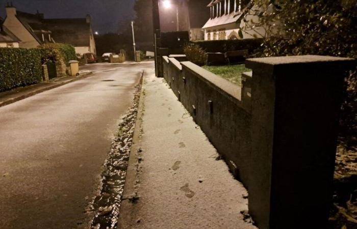
The fault, in part, is the Caetano storm which crosses France from West to East. It brings “snow in the plains on an axis going from North Brittany / Normandy to the Grand Est” and snow “sometimes abundant in the Alps”, notes Météo France in its 6 a.m. bulletin.
This storm causes a early winter episode and sufficiently notable to make traffic conditions difficult in the regions concerned,” indicates the French weather organization, in a press release.
We often expect 5 to 10 cm in the plains, locally up to 20 cm from the first heights between Normandy, Center, Burgundy and southern Alsace. […] In Île-de-France, we expect 1 to 5 cm in general, and 5 to 10 cm in the south of the region. Snowfall is also expected at low altitude in the Southern Alps: 5 to 10 cm around 400m altitude, 15 to 30 cm around 800m and sometimes 60 cm around 2000m.
Departments on orange alert this Thursday
Ain : Vent
Allier: Wind
Alpes-de-Haute-Provence: Snow-ice
Hautes-Alpes: Snow-ice
Dawn: Snow-ice
Calvados: Snow-ice
Charente: Wind
Charente-Maritime: Wind
Expensive: Snow-ice
South Corsica: Wind
Upper Corsica: Wind
Côte-d’Or: Snow-ice
Côtes d’Armor: Snow-ice
Hollow: Wind
Doubs: Snow-ice
Eure: Snow-ice
Eure-et-Loir: Snow-ice
Finistère: Wind
Gironde: Wind
Ille-et-Vilaine: Snow-ice
Isère: Wind
Loir-et-Cher: Snow-ice
Loire: Wind
Loire-Atlantique: Wind
Loiret: Snow-ice
Channel: Snow-ice
Haute-Marne: Snow-ice
Mayenne: Snow-ice
Morbihan: Wind
Nièvre: Snow-ice
Orne: Snow-ice
Puy-de-Dôme: Wind
Haut-Rhin: Snow-ice
Rhône: Wind
Haute-Saône: Snow-ice
Sarthe: Snow-ice
Savoie: Wind
Haute-Savoie: Wind
Paris: Snow-ice
Seine-Maritime: Snow-ice
Seine-et-Marne: Snow-ice
Yvelines: Snow-ice
Deux-Sèvres: Wind
Vendée: Wind
Vienna: Wind
Haute-Vienne: Wind
Vosges: Snow-ice
Yonne: Snow-ice
Terri. de Belfort: Snow-ice
Essonne: Snow-ice
Hauts-de-Seine: Snow-ice
Seine-St-Denis: Snow-ice
Val-de-Marne: Snow-ice
Val-D'Oise: Snow-ice
Up to 10 cm of snow on the plains
As it crosses the territory, Caetano will bring snow to the north and wind to the south.
Snowfall down to the plains is forecast between the end of the night from Wednesday to Thursday and the evening of Thursday, from Brittany/Normandy to Center-Val-de-Loire, via Ile-de-France, and up to Burgundy/Franche-Comté
Concretely, we can expect 2 to 5 cm of snow in the plainslocally up to 10 cm, or even “up to 15 to 20 cm in the east of Franche-Comté”.
Gusts of up to 110 km/h inland
In the south, temperatures will be higher and we must expect “some strong winds which are set up at the start of the day along the Atlantic coast, from New Aquitaine to the south of Brittany”, indicates Météo France.
During this episode, we expect gusts generally between 100 and 120 km/h on the Atlantic coast, occasionally up to 130 km/h on the exposed islands and capes. Inland, gusts can reach 100 km/h, or even 110 km/h, in the affected areas.
On the reliefs, gusts could blow up to 130 km/h on the Massif central and up to 150 km/h in the Alps.
Follow all the news from your favorite cities and media by subscribing to Mon Actu.


