After having been classified for a time as a category 4 hurricane evolving in the middle of the Atlantic, depression Kirk will hit France this Wednesday. The phenomenon will bring with it lasting bad weather over a large part of France.
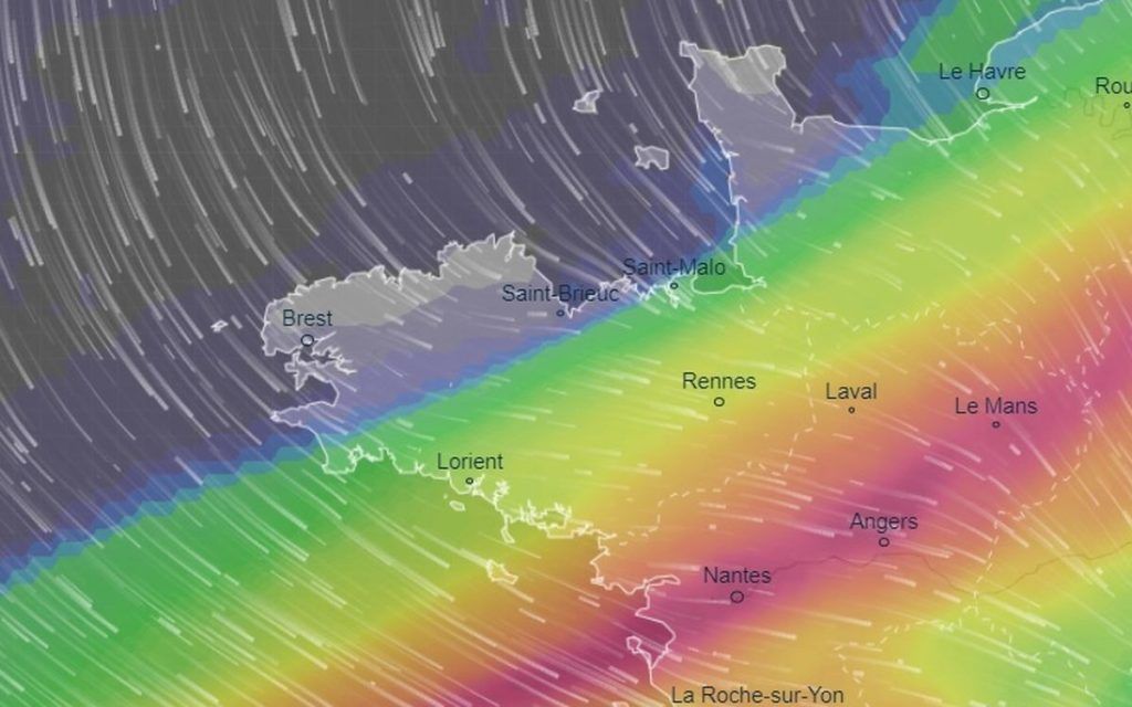
The bulk of the precipitation is expected on an axis going from the south of Loire" rel="tag">Pays de la Loire to the Paris basin. Accumulations of up to more than 100 mm are expected locally. 34 departments – including Loire Atlantique – were placed on orange alert for rain-flooding by Météo France this Wednesday.
We’ll have to take out the umbrellas
If a majority of Brittany will escape severe weather, the departments of Ille-et-Vilaine and Morbihan should still be well watered over the next 24 hours. “Depending on possible readjustments of the rainy axis towards the north, accumulations can potentially reach 40 to 50 mm in the south of Ille-et-Vilaine and between the Rhuys peninsula up to Redon,” indicates Brittany weather. The two departments have been placed on yellow alert for the risk of rain-flooding until 6 p.m. this Wednesday.
The highest accumulations (up to 50 mm) are expected in municipalities located in the south of the department such as Redon, Bain-de-Bretagne, Grand-Fougeray, Martigné-Ferchaud and Guerche-de-Bretagne. In these areas, it will be necessary to monitor possible flooding due to the soils already saturated with water which could struggle to absorb this new wave of precipitation.
To the east of the department, in the Vitré and Fougères sectors, 20 to 30 mm are possible locally. Same forecast for the Rennes basin where we expect up to 25 mm of rain in 24 hours, as much as in the last two weeks. “In the rest of the region, accumulations do not exceed 1 to 20 mm from north to south,” specifies Météo Bretagne.