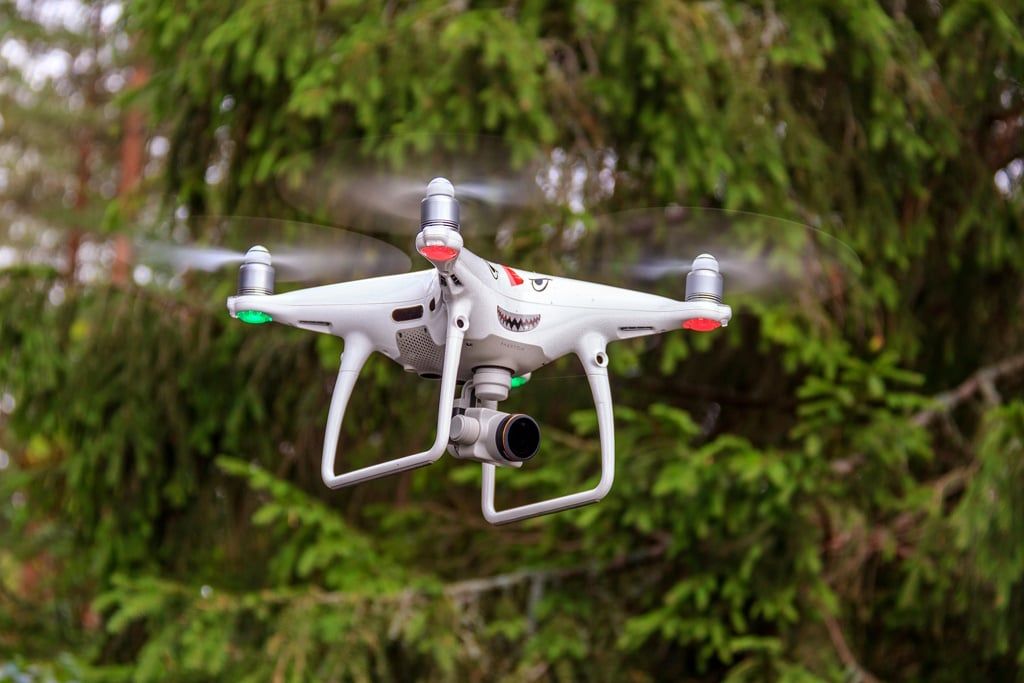
This is one of the first outcomes of the Project to strengthen cross-border cooperation for better management and restoration of ecosystems in the Senegal River delta launched in 2022. At least 35 agents were recently trained in remote sensing by drone in the protected areas.
Learners are now able to use GPS and drones to strengthen the conservation of natural spaces in these two West African countries where poaching, illegal exploitation of forest resources (timber, minerals) and the effects of climate change dictate their law. They will prioritize their expertise in the Senegal River Delta Transboundary Biosphere Reserve (RBTDS).
This site located between the Saint-Louis region in Senegal and the Wilaya of Trarza in Mauritania covers an area of 641,768 hectares. According to project coordinator Aminata Diop Sall, technological tools should facilitate the location and mapping of wildlife and flora potential, “aerial surveillance and monitoring of natural habitats as well as data analysis for decision-making » for integrated ecosystem management.
Also Read- Seychelles and South Africa in the Top 40 countries with lush biodiversity
Mauritania and Senegal are not the only West African states to rely on drone remote sensing in forest areas. With seven national parks, Sierra Leone has used them in the last two years, notably as part of a restoration program of 960,000 hectares of land. The initiative supported by the British organization Crown Agents and the drone specialist UAVaid aims to plant trees and especially their geolocation. This practice makes it possible to monitor the properties and health of plant species.
Benoit-Ivan Wansi
