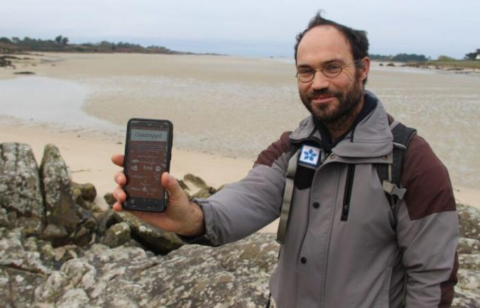
“We can see on the app where to take the photo and at what distance. There, I stand to the right of the stone cross, near the rock, and a grid helps me to frame properly.” On Croix beach, in Guissény (Finistère), in the heart of so-called “pagan” country, Nicolas Loncle, in charge of protected natural areas for the town of some 2,000 inhabitants, takes regular measurements and photos to monitor the coastline and its evolution. And this, thanks to a brand new application, CoastAppli, developed by the European University Institute of the Sea (IUEM) and Isblue, two schools of marine sciences at the University of Western Brittany.
This innovation, unique in France, free, civic and participatory, offers residents of a municipality monitored by researchers the opportunity to collect data themselves to help scientists in their observations. With their phone, everyone can measure the evolution of the coastline and allow design offices to assess, over time, the risks of marine submersion and erosion.
France
Basketball


