Par
Chloe Berry
Published on
Jan 23, 2025 at 4:10 p.m.
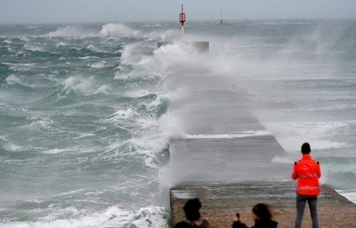
A stormy day. This Friday, January 24, 2025, the wind is expected to blow strongly across Great Britain and Ireland. Winds of up to 200 km/h are particularly expected on the coasts of Connemara.
The storm, named Éowyn, will not be without consequences for France, where we are expecting very disturbed weather at the end of the week. And it starts this Friday, January 24, 2025.
This Thursday, January 23, at 4 p.m., Météo France placed 29 departments on yellow alert for various risks: floods, avalanches, rain-flood and wind. Here is the full list.
The 29 departments on alert for this Friday
Aisne: Floods
Alpes-de-Haute-Provence: Avalanches
Hautes-Alpes: Avalanches
Alpes-Maritimes : Avalanches
Calvados: Wind, Floods, Rain-flood
South Corsica: Avalanches
Haute-Corse: Avalanches
Côtes d’Armor: Wind, Rain-flood
Eure: Floods, Wind, Rain-flood
Eure-et-Loir: Floods
Finistère: Wind, Rain-flood
Ille-et-Vilaine: Wind, Rain-flood
Isère: Avalanches, Wind
Loire-Atlantique: Wind, Rain-flood
Channel: Wind, Rain-Flood
Mayenne: Rain-flood
Morbihan: Wind, Rain-flood
North: Wind
Oise: Floods, Rain-flood
Orne: Rain-flood
Pas-de-Calais: Wind
Pyrénées-Atlantiques: Wind
Haut-Rhin: Wind
Rhône: Wind
Haute-Savoie: Avalanches
Seine-Maritime: Wind, Rain-flood
Yvelines: Rain-flood
Sum: Wind, Floods
Val-D’Oise: Rain-flood
A “good watering” of the northwest
On the sidelines of the storm, which is circulating over Ireland and Great Britain, the weather will be disturbed and rainy all day between Brittany and Pays de la Loire as far as Hauts-de-France, overflowing a little further south in the afternoon.
Météo France goes so far as to speak of “good watering” in its bulletin.
-Further south, the weather is dry and often cloudy.
Wind and temperature forecasts
As the disturbance passes over the north of the country, the wind is expected to be quite strong, reaching 60 to 80 km/h in gustsweakening in the evening.
To the west of the Pyrenees, the south wind blows up to 80 km/h then 100 km/h at night. The autan blows up to 60 km/h on Lauragais. A southerly wind reaches 50-60 km/h in the Rhône valley during the day, strengthening to between 60 and 80 km/h at night.
On the mercury side, it will between 4 to 8°C to the west of a Biarritz-Paris-Valenciennes line. East of this line it is colder, between 0 and 3°C from the Pyrenees to Grand Est and numerous night frosts in the central massif, Franche-Comté, Rhône-Alpes and PACA.
In the afternoon, the mercury rises up to 9 to 15°C from north to south, and up to 16 to 20°C in the south of Aquitaine.
Follow all the news from your favorite cities and media by subscribing to Mon Actu.


