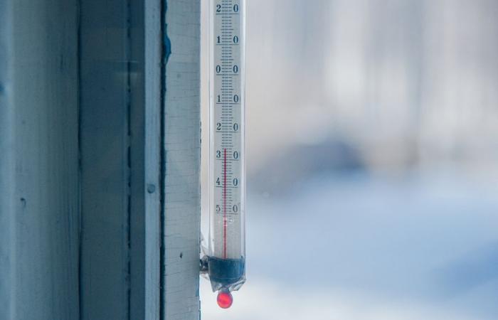
This Saturday, January 4, 2025, the weather will be dry, but overcast. Freezing rain is expected in the south of the region in the afternoon. Temperatures will be well below seasonal norms with frost throughout Hauts-de-France.
The essentials of the day: our exclusive selection
Every day, our editorial team reserves the best regional news for you. A selection just for you, to stay in touch with your regions.
France Télévisions uses your email address to send you the newsletter “Today’s essentials: our exclusive selection”. You can unsubscribe at any time via the link at the bottom of this newsletter. Our privacy policy
At low level, a depression is deepening over the Atlantic today. We will follow the rise of the associated disturbance from the southwest. This will affect our region this evening and will result in a classic warm spell snow situation (warm air mass with precipitation arriving on a cold air mass).
This morning the weather is dry, but cloudy. There are frosts throughout the region which last until the morning. The wind is light to moderate.
The weather forecast, Saturday January 4, 2025 morning in Hauts-de-France.
•
© FTV
This Saturday afternoon is still dry and cloudy until the arrival of the disturbance from the southwest in the early evening. This can bring light snow (without holding onto the ground) at first, then freezing rain in the first part of the night. Then, return to classic rain from the second part of the night. The wind is light to moderate and strengthening overnight.
The weather forecast, Saturday January 4, 2025 afternoon in Hauts-de-France.
•
© FTV
The minimums are -3°C to 1°C. That is 4°C below seasonal norms.
Minimum temperatures, Saturday January 4, 2025 in Hauts-de-France.
•
© FTV
The maximums vary from 0°C to 4°C. Well below seasonal temperatures.
Maximum temperatures, Saturday January 4, 2025 in Hauts-de-France.
•
© FTV
Sundaythe day is full of clouds and it is rainy. It is also accompanied by a rise in temperatures. The accumulations can be significant: over a sliding period from 6 p.m. Saturday to 6 p.m. Sunday, we reach accumulations of around 10 mm to 15 mm in the region, or even 20 mm to 30 mm locally in Nord-Pas-de- Calais. The southwest wind having strengthened during the night, the gusts reached 40 km/h to 60 km/h inland, or even 70 km/h on the coast. The minimums are close to 0°C to 2°C. Then, 10°C to 12°C.
Mondaythe weather is still overcast with rain that can be locally moderate. Accumulations sliding over 24 hours are of the order of 7 mm to 15 mm, locally 20 mm. The wind strengthens during the night from Sunday to Monday. Gusts are of the order of 40 km/h to 60 km/h inland, and of the order of 60 km/h to 80 km/h on the coasts. Temperatures are close to 3°C to 11°C.
Then mardithe day is still cloudy and rainy with a fairly strong wind and it is 2°C to 5°C.
The weather forecast for January 5 to 7, 2025 in Hauts-de-France.
•
© FTV
This Saturday, January 4, concentrations of fine PM2.5 particles continue to increase slightly with the cold weather and weak wind, thus maintaining average air quality in Hauts-de-France. Ozone and the PM2.5 particle share the index. We spend on average 80% of our time indoors; for healthier air in your home, limit the use of candles, incense and aerosols.
Air quality, Saturday January 4, 2025 in Hauts-de-France.
•
© FTV
We celebrate Odilon today. Happy holiday !
Ephemeris of Saturday January 4, 2025.
•
© FTV
Edited by Chloé Caron / FTV


