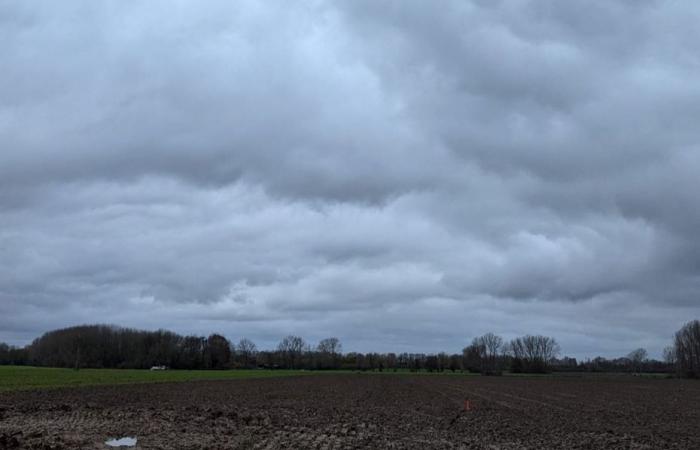
A rather calm day awaits us. Calm but marked by the presence of numerous low clouds. Be careful this morning of mists, even dense fogs in the south of the region. As for the thermometers, they are still playing yo-yo and going down today before going up again on Thursday.
The essentials of the day: our exclusive selection
Every day, our editorial team reserves the best regional news for you. A selection just for you, to stay in touch with your regions.
France Télévisions uses your email address to send you the newsletter “The essentials of the day: our exclusive selection”. You can unsubscribe at any time via the link at the bottom of this newsletter. Our privacy policy
If the conditions are weakly anticyclonic this morning, the low pressure current is approaching the English Channel and will initiate the change in weather. In the meantime, be careful on the roads, especially in the south of the region where the morning gray is very present with sometimes dense fog locally. They may be slow to dissipate and will take time to rise into low clouds. Further north, the sun tries to make its way through the clouds. Clouds which, on the seaside, can release light showers. As for the wind, with the approaching disturbance, it shifts to the south and remains weak.
Fog in the south, a few rays of sunshine further north
•
© France Télévisions
This afternoon, the south wind will pick up and as it was non-existent this morning, it will succeed in accentuating the feeling of cold. As for the sky, it seems to remain clogged with clouds except on the coast where some clearings will appear, making the showers disappear.
Overcast except on the coast
•
© France Télévisions
It's not hot this morning, especially indoors. Near Avesnes-sur-Helpe, Météo France announces -2°C, elsewhere 0 to 2°C. As we get closer to the seaside, the minimums change from 3 to 5°C.
Down to minus two for Maroilles, Liessies, in Avesnois
•
© France Télévisions
Also chilly in the afternoon with 4 to 7°C from east to west inland, and 9°C on the coast.
These are indeed the maximums of the day
•
© France Télévisions
THURSDAY : Unsettled and windy weather. A disturbance will approach the coasts in the second part of the night. It quickly spreads throughout the region, so a gray and humid day is in store for us. Let's add the southwest wind which will blow in gusts, 50 km/h in the interior, 70 to 80 km/h on the coast. The only good news is the clear softening ! Minimums of 5 to 8°C will be reached during the night and in the afternoon we should have a range of 10 to 14°C.
Friday : While waiting for the next disturbance, Friday will bring us a more or less cloudy sky, a few cumulus clouds will develop during the day. The westerly wind will remain strong with peaks of 50 to 60 km/h. Minimums of 5 to 9°C from east to west, maximums of 9 to 11°C.
SATURDAY : During the night from Friday to Saturday, a depression will deepen over the near Atlantic in the rapid westerly current at altitude. It should cross France during the day, but at the time of writing, its trajectory is still uncertain over the northern half of the country. The first day of the weekend, despite everything, promises to be choppy and rainy. Temperatures : 3 to 6°C for mini, 8 to 11°C for maxi.
Friday remains the bright day of the week
•
© France Télévisions
If the air quality index must remain average over most of the region, ATMO Hauts-de-France gives us excellent news for the inhabitants of the southwest of the Somme as well as the west of the Oise, since in this area the index is good.
Good to average today's ATMO index
•
© France Télévisions
We celebrate Barbara today. It is therefore Sainte-Barbe, always celebrated in Hauts-de-France. Indeed, she is the patron saint of many professions related to fire or lightning and therefore explosions: Firefighters, pyrotechnicians, deminers, artillerymen, glassmakers… Sainte-Barbe, mistress of fire and lightning, was also supposed to protect miners from firedamp attacks! Needless to say, the miners no longer swore by it. Even if today, mining has stopped, the tradition of the feast of Saint Barbara continues and is far from being interrupted!
Have a good day and tomorrow don't forget to celebrate Gérald and Géraldine.
Ephemeris of the day
•
© France Télévisions


