Updated on 09/10/2024
Press release of October 9, 2024
Météo France today issued an ORANGE “flood” alert for the Alpes-Maritimes department from 4:00 p.m. and a “rain-flood” alert from 6:00 p.m. until tomorrow, Thursday October 10, 3:00 a.m.
The department will also go into YELLOW “wave-submersion” vigilance on Thursday October 10 from 12:00 a.m. to 12:00 p.m.
Description of the weather event:
Ahead of the “Ex-KIRK” depression which arrives from the Atlantic, south to southwest winds continued to strengthen during the day on Wednesday across the entire Mediterranean basin, generating strong waves. This meteorological episode is not exceptional for the season, but the issues linked to the state of the soil justify ORANGE vigilance.
Precipitation is already observed in the Grasse pre-Alps, with cumulative amounts of 15 to 20 mm measured (at 4:15 p.m.). On the coast from Cannes to Menton, accumulations of between 10 and 30 mm are expected.
For the first reliefs, notably the Esterel and the Grasse pre-Alps, maximum accumulations of 60 to 80 mm are expected. Near Nice, in the Paillons sector, the forecast is 50 to 60 mm. In the high country and Mercantour (Roya, Vésubie, Tinée), forecasts announce accumulations of 80 to 100 mm, with a possible maximum of 120-130 mm locally.
The intensity of the precipitation will increase over the hours, reaching a peak between 00:00 and 3:00, then the weather conditions will fade and should clear from 06:00. Thunderstorms cannot be ruled out, but they should not be stationary.
This precipitation can generate urban runoff, with localized flooding, possible mudslides, as well as landslides on the roads, which requires increased vigilance.
Concerning submergence wavessoutherly waves could reach 2.50 m. It is therefore recommended to remain vigilant in usual areas, particularly seaside roads.
Regarding waterwaysrapid reactions from Vésubie, Tinée, Roya and Paillon upstream are expected.
In these sectors, the flow rates of the main rivers should reach or exceed those of October 8.
Watercourse vigilance:
- Upstream Var: YELLOW
- Middle var and tributaries: ORANGE
- Was aval : HOST
In the Vésubie and Roya watershed, sensitive sectors from a sedimentary point of view or due to the presence of construction sites or temporary works (bridges on the Vésubie and A8 Escota construction site on the Var, in particular ), require special monitoring.
The coastal rivers (Riou, Siagne, Loup, Brague, Cagne and Magnan) should be less affected and remain below the thresholds for first overflows.
The Departmental Operational Center (COD) is activated in the prefecture from 8:00 p.m. and all services are mobilized to monitor the evolution of the situation.
If you have to take the road, find out about traffic conditions at https://www.inforoutes06.fr/
The Prefect calls on the maralpins to be vigilant on the roads but also at home.
For more information, you can refer to the Météo France vigilance map available: http://vigilance.meteofrance.com
Behavioral tips:
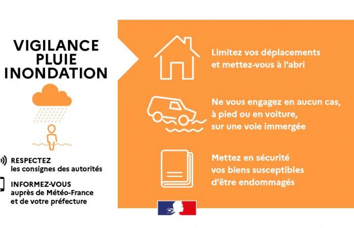
• Limit your movements and take shelter
• Do not under any circumstances, on foot or by car, enter a submerged path.
• Move away from watercourses and reach a high point
• Do not go down into basements
• Secure your belongings likely to be damaged
• Monitor rising water levels
• Take shelter in a solid building
• Find out about traffic conditions if you have to take the road
• Keep yourself informed about developments in the situation


