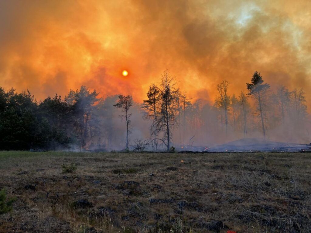
A future constellation called FireSat is planned for 2026 and should be able to detect homes measuring 5 by 5 meters. The American giant is providing 13 million dollars to the project.
Between cameras, drones, satellites, artificial intelligence, connected sensors (such as Inria’s BurnMonitor), the high-tech arsenal for detecting forest fires is already well-stocked. The Earth Fire Alliance, a for-profit organization founded in May 2024, has launched a project for a constellation of 52 observation satellites at an altitude of 1,500 km, FireSat.
The devices are being designed by California-based manufacturer Muon Space and the first three are expected to be launched and begin operating in 2026.
5 by 5 meter fireplaces
On September 16, 2024, Google’s philanthropic arm, Google.org, announced its commitment of $13 million. The Silicon Valley giant’s research division is working with Muon Space to integrate artificial intelligence-based detection tools into satellites.
The project aims to detect small fires measuring five metres by five metres, at an altitude of 1,500 km, within twenty minutes of their appearance, unlike the American NOAA which monitors fires and smoke via geostationary satellites.
The system’s detection function is based on an algorithm specifically dedicated to small areas, trained and validated on images of controlled fires (fires started expressly by the authorities for prevention purposes, as is the case in the United States).
Fire simulations
Once operational, the detection will be done by comparing the area analyzed by the algorithm at a given moment with what it was some time before, combining the images with local weather data to determine the level of probability that there is a forest fire.
This work does not stop there. It will also feed data into a broader project led by Google with the US Forest Service, which consists of creating simulations of fires to better understand how they spread.
Find this article on sciencesetavenir.fr


