In the last few hours of the year it cools down a lot in the northern half and 2025 will also start with occasional severe hurricane gusts. In addition, there is sometimes heavy rainfall, as ntv meteorologist Björn Alexander knows. The next few days will offer plenty of excitement. Because the weather models are giving winter more and more chances.
ntv.de: What are the prospects for the turn of the year?
Björn Alexander: Absolutely turbulent – especially in the northern half. The foothills of the low “Ginette” are passing through here, while in the south of our country the high pressure areas “Herwig” and “Günther” are still holding out and ensuring a more relaxed turn of the year.
What wind speeds should we expect?
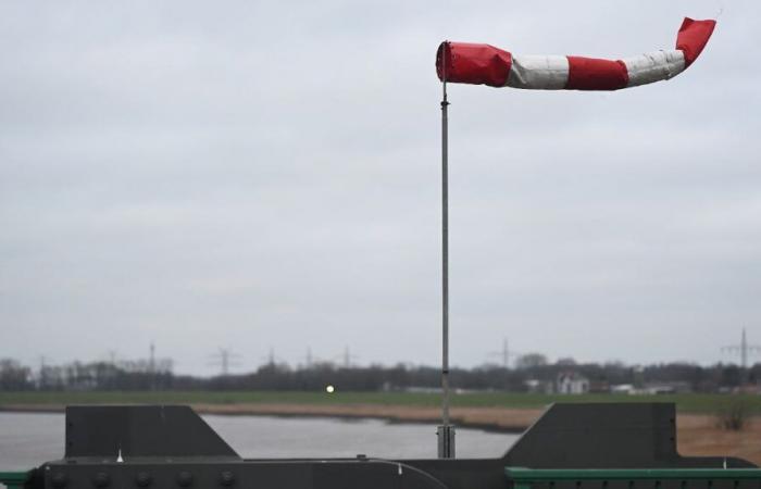
Directly on the coast and on the peaks of the low mountain ranges, there is a risk of severe storms or even hurricanes. The strongest gusts are likely to occur on the Brocken in the Upper Harz. Peaks of around 130 to 140 kilometers per hour are possible here. The highest gusts are generally expected in the second half of the night.
What’s hot on the coasts?
At the sea and in the north of Schleswig-Holstein, where the center of “Ginette” is close, wind peaks of 90 to 110 km/h can be expected. Otherwise, wind speeds in the northern half up to the low mountain range are 60 to 90 km/h from southwesterly directions. Be careful when using fireworks, especially when handling rockets.
What other freak weather conditions should we expect?
With the stormy wind, rain clouds gather in the north and northwest on New Year’s Eve, causing it to rain heavily in some cases. Rainfall amounts of 25 to 40 liters per square meter can be expected within 24 hours.
Where does it get the wettest?
Those affected are the regions where the storms are most intense – i.e. the North Sea area and the north of Schleswig-Holstein. The whole thing in the north with lows of 5 to 2 degrees Celsius. From the center southwards it is quieter, dry, more often clear and colder at 1 to minus 5 degrees. However, there is a risk of icy ice in places and patches of dense fog in some places.
And on New Year’s Day?
A similar mixed view awaits us as at night. In other words: The north and the northwest are gray and always wet. To the south and southeast, things continue to be nicer after or outside of fog and high fog. The whole thing at sometimes very windy to stormy 3 to 11 degrees – the warmest with sunshine is in the south.
Where are the focal points of the storm?
Still over the northern half, with a focus on the North Sea environment and the low mountain ranges. The most intense gusts of up to 150 km/h will again be in the Upper Harz.
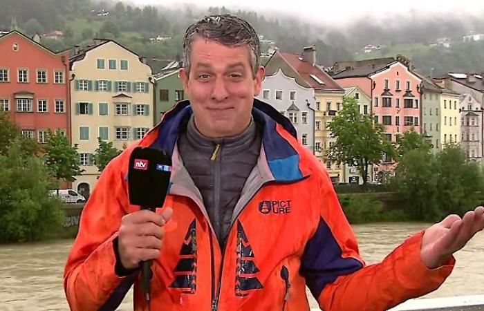
ntv Meteorologist Björn Alexander
(Photo: ntv)
What moves us then?
Overall, the weather computers want to make it pretty exciting. From Thursday to Saturday it will be colder again – with a maximum of 3 to 9 degrees on Thursday and minus 2 to 4 degrees on Friday and Saturday. The precipitation extends into the south and can cause slippery conditions as snow or freezing rain. Even heavier snowfalls cannot be ruled out in the meantime.
A real winter comeback with snow even in the lowlands?
The weather models still assess this very differently. Most recently, almost all forecasts had a chance of covered snow cover even in the lowlands. In the meantime, some of the calculations see further easing from next Sunday to Tuesday or Wednesday, before the forecasts trend towards winter and cold again. In short: winter fans could get their money’s worth in the new year. At least it is a multifaceted development that also reflects the experimental long term.
Why?
The American Weather Service’s monthly forecast has gradually changed from a January forecast that was significantly too warm to an average temperature to cold. And other long-term trends for January are also in the average to significantly too cold range. So something could happen when it comes to winter.


