Par
Sebastien Lucot
Published on
Dec 29 2024 at 7:32 p.m.
See my news
Follow La Presse de la Manche
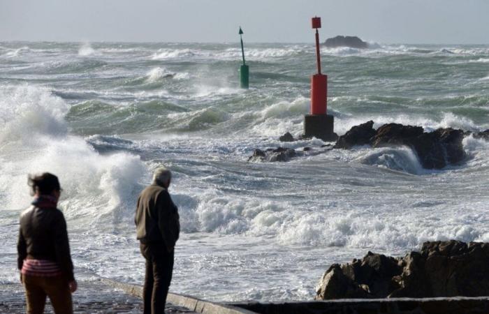
The calm, often gray and monotonous weather of this end of year 2024will soon end in Normandy with the return of disrupted weather conditions. And the transition will be brutal, sincea strong gust of wind is expected for The newswhat start the year 2025 a fanfare.
The high pressures present since Christmas will gradually slide towards the eastern Mediterranean and allow depressions on the Atlantic to get closer to the France.
The Wednesday 1is Januaryone of them will circulate on the Great Britaindeepen and cause a major storm among our English neighbors. Slightly on the margins, the Channel coasts will however suffer the horrors of this degradation and experience strong gusts of wind late in the afternoon and evening.
Locally 130 km/h
Modeled by values of the force of a strong gust of wind, they will be able to reach 110 to 120 km/hlocally 130 km/h on the exposed capes of Cotentinsuch as Carteret or Barfleur. More moderate inlandthey will be able to flirt with 100 km/h north of a line going from Granville to Carentan.
“A gale is expected between Wednesday afternoon and Thursday morning over a small northern third of the country. Gusts could reach more than 100 km/h along the Channel coasts and on the Hauts-de-France“, indicate the services of La Chaîne Météo, French television channel providing continuous weather information belonging to the company Météo Consult.
This clear transition, accompanied by a certain mildness (10 to 12°C), will not however signify the return of autumnal conditions, quite the contrary. After the passage of this disturbance, behind it, the ballet of depressions will not be able to reform over the Atlantic, as is usually the case.
Indeed, the action centers of our atmosphere will be reorganized in an unusual way above the northern hemisphere. According to weather models used to make forecaststhe North Atlantic Oscillation (NAO) is expected to enter a negative phase in this first half of January, thus paving the way for the formation of an anticyclone on the North Atlantic.
This, depending on its placement and a locked position, could breathe on Western Europe a north to northeast wind, thus bringing largely negative temperatures above our heads (which is not currently the case).
Winter feelings at the end of the week
If doubts persist in the modeling of the panel of weather models made available to forecasters as for the solidity of this anticyclonic blockage, a first cold flow seems certain between next Friday and Sunday.
This, sliding over the north of France, could place Normandy in the zone where an air mass conflict would take place and, in fact, a zone where snowfall are possible.
“Friday and until the weekend, there is a risk of one, or even two, snowy episodes mainly in the northern half of France. But the scenario is still very uncertain”, begins to inform Météo-France, via its forecast bulletin of “ dangerous phenomena« .
Without mentioning the chronology of events, quantity, or exact locationthe signals of a winter assault on the north of France seem to be gaining ground for the weekend. And potentially last a long time, if the anticyclone located close to the Greenland holds its position.
Follow all the news from your favorite cities and media by subscribing to Mon Actu.


