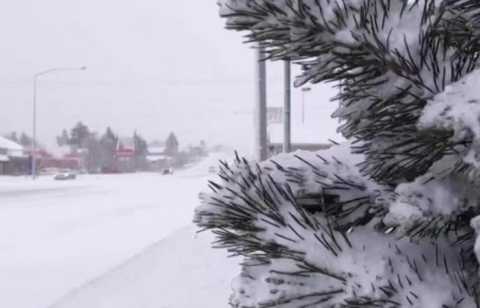
La Nina conditions have developed in the Pacific Ocean. This natural phenomenon in this part of the world fluctuates between periods of warmer water (El Nino) and colder water (La Nina), having an impact on weather patterns in Montana and across North America.
In a typical La Nina pattern, the northern branch of the jet stream becomes more active. This leaves Montana, the Northern Rockies and the Pacific Northwest with a tendency for above-normal snowfall and below-normal temperatures in winter. On average, snowfall ranges from 110-125% of average. but nothing about La Nina and most things in weather is ever typical.
La Nina is only one piece of the puzzle as other oscillations and global patterns impact our weather. So while the outlooks favor increased odds for above-average snow, that is not a guarantee.
While it is still early, much of the western United States snowpack west of the Continental Divide is starting off healthy. East of the divide is not far behind normal, certainly a better start than last year. When all is said and done, it’s likely montana will have an above-normal snowpack positioning the state well for streamflow and fire season.
Swiss


