A turbulent week is ahead in France with the arrival in the middle of the week of a maritime polar air mass which will bring snow to the plains. But before the cold and snow arrive, heavy rain is expected at the start of the week. Which regions will be affected?
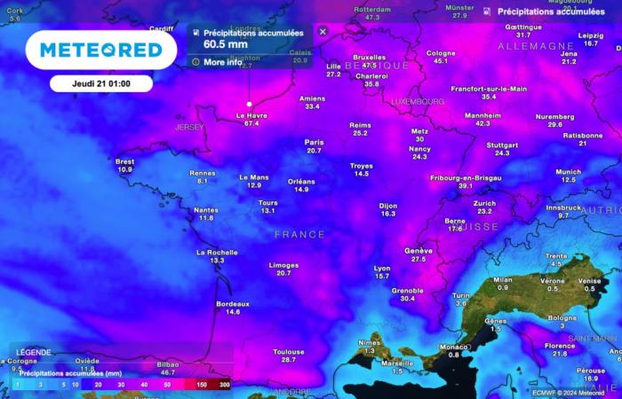
While a descent of maritime polar air is expected over France for the middle of the week, with a drop in temperatures and possible snowfall all the way to the plains on Thursday, At the start of the week, we are monitoring sometimes heavy rains in the north of the country. The heaviest precipitation is forecast in the coming hours, particularly towards Normandy.
The next 48 hours promise to be very humid in France. If today the rains will be confined to the far north, A very active rainy zone should extend to a large northern half of the country tomorrow. Furthermore, very strong gusts of wind are also expected tomorrow, including inland.
What should you actually expect? What rainfall totals are forecast according to the latest estimates? Find all our updated forecasts in this article.
Heavy rains in the north
Rainy weather will therefore dominate this Monday in the north of the country, with sometimes significant amounts of rain expected, particularly towards Normandy.

According to the latest forecasts, the heaviest rains could bring up to around fifty liters of water per square meter in Normandy, particularly in the department of Seine-Maritime.
During the day, all regions of the north of the country will be affected by rain, from Brittany to Alsace, including Île-de-France.
If precipitation will initially remain rare in the central regions, the sky will still be overcast between the Loire" rel="tag">Pays de la Loire, Aquitaine, Centre-Val de Loire and Burgundy-Franche-Comté.
On the other hand, Beautiful clearings are expected between the Pyrenees, the Alps and the Mediterranean rim.
Weather still rainy tomorrow!
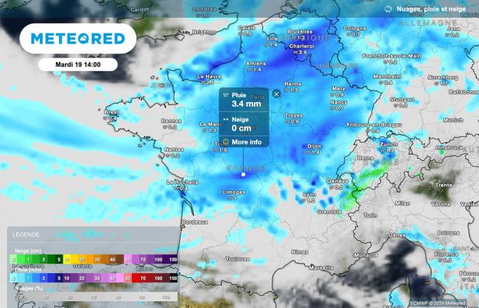
The disruption will progress tomorrow, extending over a very large northern half of the country.
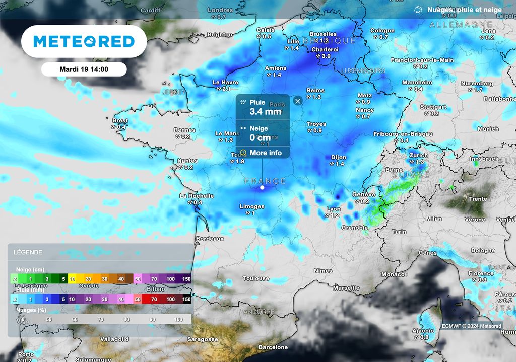
The map above shows that the rains will extend to a large northern half of France on Tuesday, with more sustained precipitation near the northeastern borders.
As we progress towards the southern regions, the disturbance will bring snow to the Northern Alps, with snowfall expected from 1600 meters above sea level.
Beautiful clearings will still resist this Tuesday between the Pyrenees and the Mediterranean regions.
Gale over the country
In addition to sometimes heavy rainfall, The wind will significantly strengthen over the next few hours.

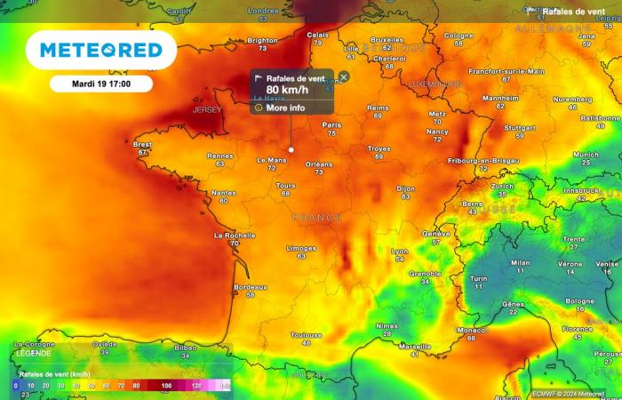
The map above indicates that very strong wind gusts are expected this Tuesday over a large northern half of France.
Under the rains associated with the disturbance, theGusts could reach up to 80 km/h inland. On the Channel coast, they could approach 100 km/h.
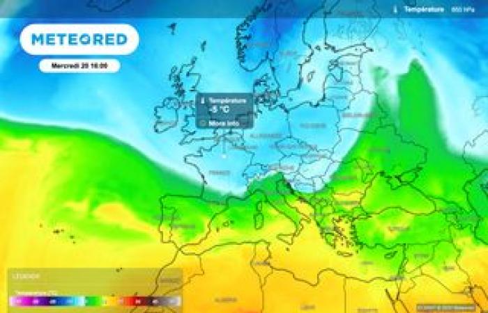
After this already very hectic start to the week, a descent of maritime polar air will sweep over France on Wednesday, bringing snow to very low altitudes in the mountains. We are also monitoring a risk of snow all the way to the plains for Thursday.

