Hide summary
What if, after the Christmas holidays, winter finally made its appearance, and for good? The weather forecasts for the new year tend towards this hypothesis. Indeed, the second part of the week should be accompanied by a lot of disruptions, in addition to a clear refresh.
We must therefore expect much more unstable weather than in recent days. It must be said thata powerful anticyclone is currently blocking Atlantic disturbances. We then benefit from dry and gray weather in the north, and sunnier in the south-east. A gap which is expressed in terms of temperatures, and this should continue in the future.
New Year's weather
The day will resemble that of Sunday, with stubborn gray weather and morning fog over a large part of the territory, from the Atlantic coast to the Grand Est. On the other hand, the Mediterranean rim, the Pyrenees, the Alps and the Massif Central will benefit from perfectly clear skies.
Temperatures will vary from -5°C to 7°C at daybreak and between -1°C and 16°C in the afternoondepending on the sunshine. Weather consistent with seasonal norms, therefore, although slightly warmer in the south.
To have
Weather: increasingly freezing temperatures? The forecast for early January
For our friends to the south, the sun will still be there on Tuesday January 2. In fact, the weather conditions will remain almost identical. So, in the north, gray weather will still dominate, while clearings could appear occasionally between New Aquitaine and Berry.
Elsewhere, the sun will continue to shine. Temperatures will vary very little, maintaining significant contrasts between morning and afternoon. On Wednesday, the northwest quarter will be under clouds. The weather forecast predicts windy weather, with gusts that could reach 90 km/h. on the Manche and Pas-de-Calais.
The return of winter
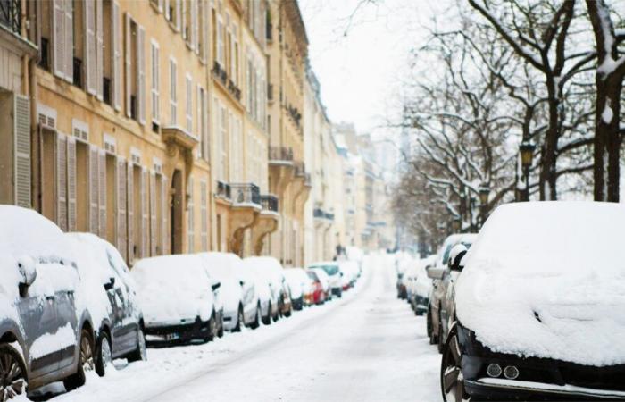
It's Thursday that the French will notice a real difference. Indeed, the change in weather will begin with the passage of an active front. Sustained rains will affect the northern half, while snow will appear on the hills, particularly in the Vosges.
In the evening and during the night, the rain-snow line will descend to the plain in the northeast. Further south, the sky will be variable with clearings, although rising clouds from the Mediterranean affect the Gulf of Lion. Temperatures, temporarily rising, will reach their peak at daybreak before gradually decreasing.
A rainy day is forecast for Friday, January 5, with precipitation extending from the Atlantic to the center-east. Snow could fall on the plains in these regions. Classic winter weather, with the wind continuing to blow in gusts (80 km/h inland and 100 km/h on the coasts).
To have
Weather: towards a return to calm? These forecasts forecast for 4 weeks in France
Next weekend will be very cold
The forecast for the weekend still remains uncertain, but a winter scenario seems to be confirmed with seasonal weather. Indeed, a polar air mass will settle over France. It will bring with it a drop in temperatures and unstable conditions.
Weather experts expect frequent showers, snow in the mountains and sometimes in the plains. Only the south-east will benefit from dry and sunny weather, under the effect of the mistral and the tramontane.
Winter, already there since December 21, 2024begins to make its presence felt. The weather forecast for the next few days should prove this to us, if the forecasts are correct.


