Par
Briac Trebert
Published on
June 28, 2024 at 12:27 p.m.
See my news
Follow News
As the days go by, the forecasts become more precise. And they require “very great vigilance”, summarizes, Friday, June 28, 2024, for -.frmeteorologist Yann Amice.
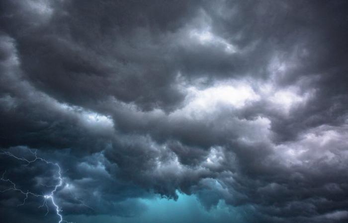
Very violent storms “with intense precipitation, hail, and strong winds » should concern a large southern and eastern part of the country Saturday June 29, 2024. The most violent storms could affect Franche-Comté, Lorraine and Alsace, but few regions will really be sheltered.
Thunderstorms expected from late Friday night to Saturday
Accumulated rainfall of 50 to 80 millimeters in a short time, very strong wind gusts of up to 100 km/h and intense electrical activity are anticipated in places across the country.
We must expect very violent phenomena under these storms this Saturday: hail, heavy rain, powerful winds, lightning, tornadoes and downbursts, particularly from the Center to the north-east of France, as well as in the north of the Alps.
In the unfolding, according to the latest weather models on a finer scale, it is at the end of the night from this Friday 28 to Saturday 29 June 2024, that the first locally very rainy storms are expected in New Aquitaine. They should then shift towards the Centre-Val-de-Loire and the Île-de-France.
A new cold drop at the origin of this strong instability
And during the day of this Saturday, June 29, a new burst of storms “even more organized, with risks of multicellular storm structure”, specifies the meteorologist, should develop from the southwest to the Massif Central, then shift towards the Center -east and northeast.
“It is a new cold drop, with cold air at altitude” which will be at the origin of this very strong instability. “The shift of this cold drop above France where very warm air reigns will favor the digging of a low pressure minimum on Saturday over the center of France, which will give an explosive cocktail, rare”, summarizes the meteorologist.
France will face a powerful air mass conflict this Saturday. Cool air coming from the Atlantic will collide with the warm air currently present. And at the same time, a cold drop coming from Portugal will direct, in a powerful southerly flow, very humid air coming from the Mediterranean over a good half of the country. All these elements create the conditions conducive to an explosive meteorological cocktail.
This cold drop at altitude, located this Friday in the south of Portugal, will rise towards the center of Spain to cross the Pyrenees on Saturday noon. A situation which will be characterized “by powerful forcing at altitude”, he continues, with a particularly strong southerly wind at altitude which will facilitate the transport of an air mass very (very) laden with humidity.
Large hail, torrential rain with risk of flooding…
A development that will coincide with maximum temperatures of over 30°C at the end of the afternoon this Saturday in central and eastern France.
Large hail, torrential rain with risk of flooding… It is probably at the end of the day, in the north-east of France, that the storms will be the most powerful, but “all day long, in many regions, storm activity could be intense”, warns Yann Amice.
The risk of thunderstorms should gradually disappear from Sunday June 30, and the start of next week should see the return of cooler temperatures.
Follow all the news from your favorite cities and media by subscribing to My News.


