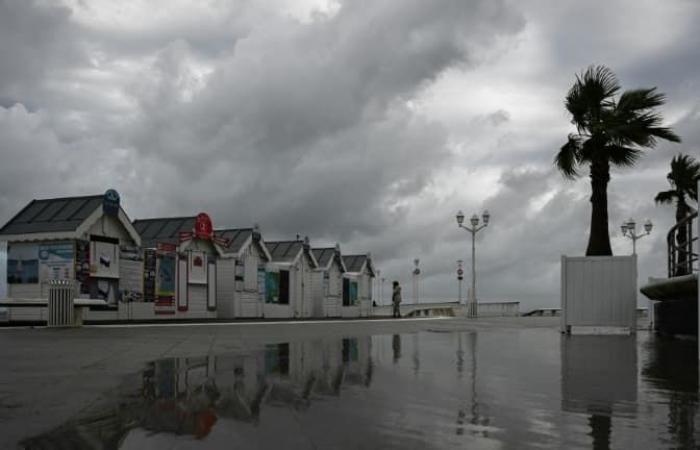
Météo France has placed 21 departments on orange wind alert for Monday, which will be marked by the passage of storm Floriane. Disruptions are expected on the rail network.
France will be swept away this Monday, January 6 by storm Floriane, which promises to be rapid but intense, according to Météo France forecasts. The departments of Loire and Rhône as well as 19 departments in the northern half of France were placed on orange alert for the wind during the night of Sunday and the day of Monday in connection with this atmospheric depression, Météo France announced on Sunday .
The organization predicts that the wind will strengthen from Sunday evening in the Rhône valley in connection with storm Floriane. This will circulate on Monday on “an axis starting from Vendée to the Ardennes via Île-de-France”, according to the Météo France bulletin. The wind gusts will be “locally intense” and are likely to occur on “weakened soils” because they are already saturated with water after the precipitation of recent days. They will be 80 to 100 km/h and occasionally 110 km/h.
Météo France anticipates two peaks of violent wind: the first in the middle of the night from Sunday to Monday and the second Monday at midday. The organization has placed a total of 21 departments on orange alert: Vendée, Maine-et-Loire, Sarthe, Indre-et-Loire, Loir-et-Cher, Eure, Loiret, the eight departments of Île-de-France , Aisne, Marne, Ardennes, Meuse, Rhône, Loire.
In the North-West, storm Floriane will enter early Monday morning off the coast of Vendée, again with gusts of 90 to 100 km/h, locally at 110 km/h.
“It shifts towards the Paris region at midday then the north-eastern regions at the start of the afternoon, before quickly evacuating towards Belgium”, forecasts Météo France. “In the northern half, there remains uncertainty about the trajectory of the storm” and “the wind could blow equally strongly” in the departments bordering the departments in orange vigilance, underlines Météo France, calling for caution.
Train traffic restricted
Consequence for Monday, the SNCF announced traffic restrictions, speed slowdowns and preventive service cancellations in the 21 departments concerned: for example, no direct Paris-Limoges-Toulouse train will run before 4 p.m.
In Hauts-de-France, the SNCF will shut down certain portions of lines for a few hours at midday on Monday. The Paris-Laon lines (between Crépy and Laon), Tergnier-Laon, Creil-Beauvais and Boulogne-Dunkerque (from 11 a.m. to 1 p.m.) are affected.
“There will be no direct Paris-Limoges-Toulouse trains before 4 p.m., four direct Nantes-Bordeaux trains will be canceled, there will also be no TGV from Tours and Saint-Pierre-des-Corps until 4 p.m. and no TGV service until 2 p.m. from Poitiers and Châtellerault stations”, details a press release from SNCF Réseau.
The preventive “traffic stops” will also concern the Limoges-Angoulème lines until 1 p.m., Limoges-Vierzon until 5 p.m., Poitiers-La Rochelle, Etampes-Orléans, and Tours-Poitiers, at least part of the day. , as well as Nancy-Bar-le-Duc from 11 a.m. to 4 p.m.
In Île-de-France, departing from Paris-Est, trains to Coulommiers, Provins, Esly, Crécy la Chapelle will also be canceled between 11 a.m. and 4:30 p.m. “Reconnaissance runs by empty trains with SNCF Réseau agents on board equipped with chainsaws will be carried out at the end of this meteorological episode in order to allow the resumption of traffic in complete safety,” specifies the SNCF.


