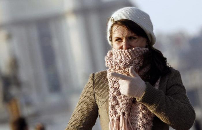
France is experiencing a rapid and spectacular warm spell this Sunday, January 5. Some municipalities gained almost 30°C in just 24 hours.
Dozens of degrees gained in 24 hours. In Pierrefontaine-les-Varans, in Doubs, residents woke up to 30°C this Sunday, January 5. According to La Chaîne Météo, 7.1°C was recorded at 7 a.m., compared to -23.4°C the day before, at the same time.
This rise in temperatures can be explained by the spectacular warm weather that France experienced this Sunday. The day before, however, 30 departments in a north-eastern part of the country, including Doubs, had been placed on orange alert for snow and ice, since lifted by Météo-France.
-28°C on Saturday, 7°C on Sunday
In these areas, extreme temperatures had been recorded: up to -33°C in the Jura; -28.1°C, at the coldest of the night from Friday to Saturday, in the hamlet of Reculfoz. Nothing to do with the data recorded this Sunday morning. In the hamlet, 7°C was recorded at 9 a.m., according to Météo-France data.
This rapid and spectacular warm spell is explained by the presence of a disturbance associated with a mass of mild air which sweeps the entire country “in a southwest/northeast direction”, explained the meteorological service. “This mild air puts an end to snow and freezing rain.”
This rise in temperatures was also seen in Paris, which gained more than 14°C in 24 hours. On Saturday, it was -3.6°C at 7 a.m. compared to 11.1°C this Sunday at the same time. In Colmar, it was -9.10°C on Saturday morning compared to 7.3°C this Sunday. For its part, Vichy gained 16°C in 24 hours.
France


