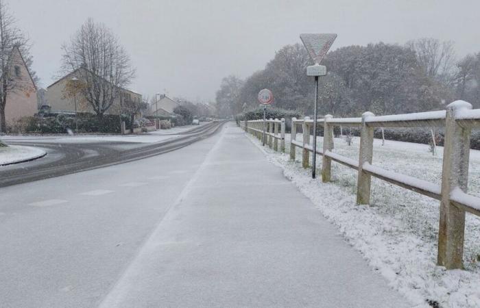
A serious cold snap, with expected flakes, but short-lived. Île-de-France switched this Saturday morning to the list of territories which will be placed on orange snow ice vigilance by Météo France, i.e. 30 departments in total, compared to 16 initially announced at 6 a.m.
This alert, in the face of a “winter episode (…) requiring particular vigilance”, will however be lifted in the region from Sunday, which will mark a sharp rise in temperatures.
The episode has not yet started, even though the weather was already particularly cold this Saturday morning, with readings showing -1 to 5°C at 10 a.m. But from Saturday evening, “a disturbance spread to Île-de-France”, notes the forecast center in its latest bulletin.
“Uncertainties” about snow quantities
“It is associated with a powerful warm spell initially overhanging the cold air at the surface. The expected precipitation could therefore be in the form of snow, followed by freezing rain, which could make the roads slippery,” he warns.
It is nevertheless difficult to assess the quantity of snow that could fall in the Ile-de-France departments. “Uncertainties still remain significant at this stage on the maintenance of cold air on the surface conditioning the nature of the expected precipitation (snow, freezing rain/on frozen ground, or liquid rain)”, details Météo France, which anticipates temperatures around zero under-shelter when this precipitation arrives. But the scenario retained by the forecaster remains “relatively pessimistic” for the moment.
In anticipation, the Police Prefecture announces the activation of level 2 of the Snow and Ice Plan in the Paris region. With the main measure, from 5 p.m., the speed limit lowered by 20 km/h on all roads in Île-de-France, excluding the Paris ring road.
An episode expected from 6 p.m. in the west of the region
In detail, a disturbance will rise from the South-West and cross the region towards the North-East in the evening. The first precipitation, in the form of light, wet snow, is then expected. A “sprinkling” remaining on the ground only in small quantities: “at most, 1 cm on the heights, rather to the west of the area”, notes the latest bulletin. Then will come the more dangerous freezing rains. The icy episode will however be temporary, of the order of “a few hours at a given point”, specifies Météo France.
The forecaster also emphasizes that the most urbanized areas, such as Paris, should be more spared from ice, “due to less cold soils”. The western part of Île-de-France should also be more exposed than the east, “even if, at this stage, no sector can be excluded”.
For their part, the prefectures of Yvelines and Val-d'Oise have specified that light snowfall and freezing rain are expected between 6 and 10 p.m. The alert also applies from 6 p.m. in Seine-Saint-Denis, the authorities indicated, without giving an end time.
We should in fact expect the episode to begin “rather at the end of the afternoon” for the “most western” departments, and “then in the evening for those further east”. underlined on BFMTV Sylvain Chave, scientific director at Predict Services, a subsidiary of Météo France. In a context of “return from vacation”, with probably “more traffic on the roads”, he calls for limiting travel “between this evening, between 6 p.m. and 8 p.m., and tomorrow, from 6 to 8 a.m. , then things should improve.”
The authorities are also calling for the greatest vigilance, stressing that freezing rain can cause traffic difficulties. Motorists are urged to limit their travel, equip their vehicles well, respect restrictions and limit speed while increasing safety distances.
“Spectacular mild spell” from Sunday
The mercury will then rise in the second part of the night from Saturday to Sunday, “at the latest for the most north-eastern regions”, a mild spell accompanied by classic rain. Temperatures will rise quickly, up to 11°C expected in Paris from Sunday morning. More broadly, “we are going to gain 10°C across the country,” notes La Chaîne Météo.
The specialized media thus anticipates in a bulletin a “spectacular turnaround”. Furthermore, he forecasts “unsettled, rainy and windy weather affecting the whole of Île-de-France”. “North of Paris, the rains are continuous, more scattered south of the capital,” he specifies.


