The weather over the next few days will change in France. The depression regime will indeed influence us. But what specifically to expect?
The weather conditions for the next few days will still be calm… all month in part of France. And for good reason, more turbulent weather will arrive from Wednesday in the north-west of France. Overview of the weather forecasts until the start of next year in France.
Depressive diet
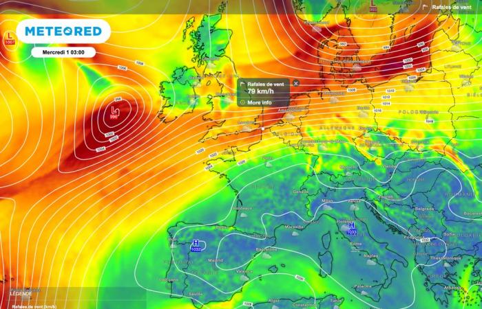
By Wednesday, high pressure will shift further towards Italy. This will have the consequence of let the disturbances coming from the Atlantic approach.
On the map below, we also see a tightening of the isobars (lines of equal pressure represented by the white lines). This indicates strengthening winds, all the more noticeable towards the Channel coast.
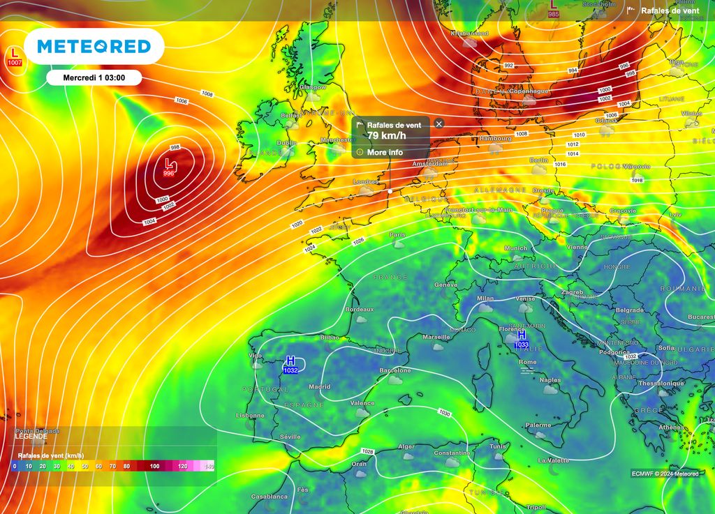
A classic wind for the season with gusts of around 60 to 80 km/h in the morning on the coast. Inland, generally allow 30 to 50km/h for the northern half. Gusts oriented southwest which will bring a little milder air, or at least less cold, removing the risk of frost near the ground.
Rain and wind
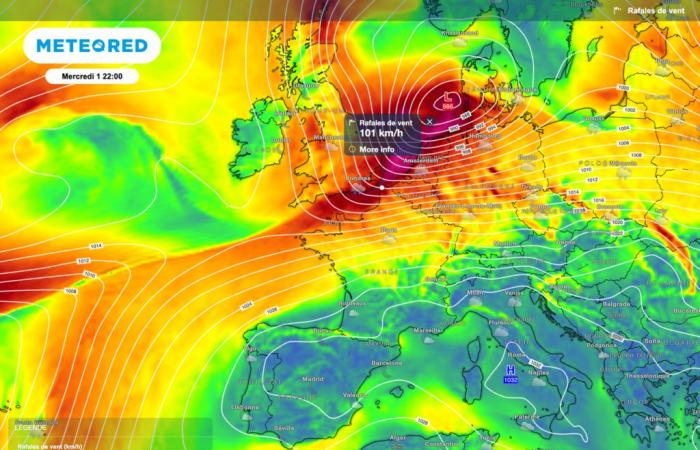
During the day on Wednesday, a vigorous depression will cross the British Isles from the southwest to the northeast. Although it will not pass over France, it will bring violent winds along the northwest coast.
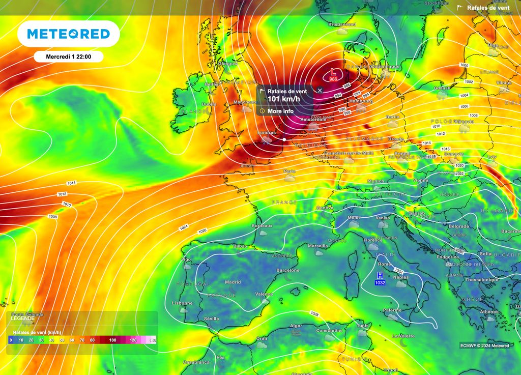
Thus, gusts of more than 100-110 km/h are possible near the coast of the Opal Coast.slightly less towards the northern Breton coasts.
In the northern half of Francestrengthening winds will also be felt. We will then speak of a gale of moderate intensity with wind speeds between 60 and 75km/h, locally 80km/h.
These winds will be accompanied by the arrival of a new rainy disturbance by the end of the day on Wednesday. Disturbance which will undulate over the northern half until Friday with an increasing risk of snowfall to the plain.
Softness then cold
Slightly softer air will therefore be conveyed initially. But quickly, much colder air will arrive at altitude. An air mass conflict will then develop over the northern half.
In fact, snowfall down to the plains is possible. To date, it is still too early to give possible accumulations of snow on the ground, as well as the more precise location of this snow conflict. A weather expected to remain wintry until the end of next weekendat least for the most northern regions.

