20% refunded on purchases on November 29 and 30, 2024.
The operation “My purchases in Mende, what else…!” returns this fall to allow customers to be reimbursed up to 20% of the amount of their purchases in the form of Cad'O Cœur checks, this Friday, November 29 and Saturday, November 30. This year, the amount of daily envelopes amounts to €25,000 or €50,000, in total over the two days of the operation.
Launched by the town of Mende, the Cœur de Lozère community of communes and the Cœur de Lozère trade office, this offer is valid in all businesses participating in the operation, in the town and the Cœur de Lozère community of communes. (excluding supermarkets and hypermarkets, tobacco, alcohol, etc.). This initiative makes it possible to promote Mende businesses while helping to develop purchasing power.
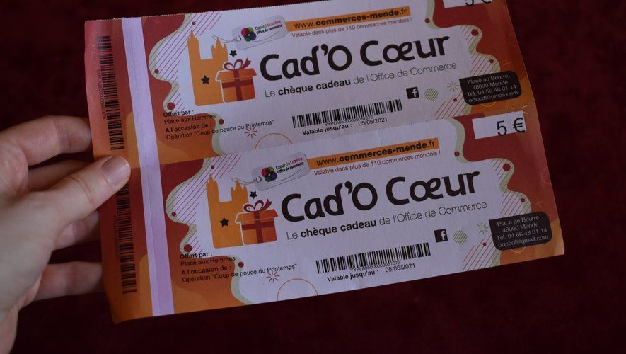
Cad'O Cœur Checks
As a reminder, this system only applies to purchases worth between €10 and €200 made on one of these two dates and until the daily envelopes are exhausted. In order to benefit from this 20% and recover them in the form of Cad'O Cœur checks, all you need to do is bring your original receipts (excluding credit payments, credit notes, payments by gift vouchers, holiday vouchers, restaurant, gift cards or online purchases) at the Chapelle des Pénitents, during the days of the operation.
The office will be open from 9:30 a.m. to 12:30 p.m. and from 3 p.m. until the envelope is used up or, where applicable, until 7 p.m. Cad'O Cœur checks will be valid until December 31 and can be spent at all businesses accepting this payment method (excluding large food retailers).