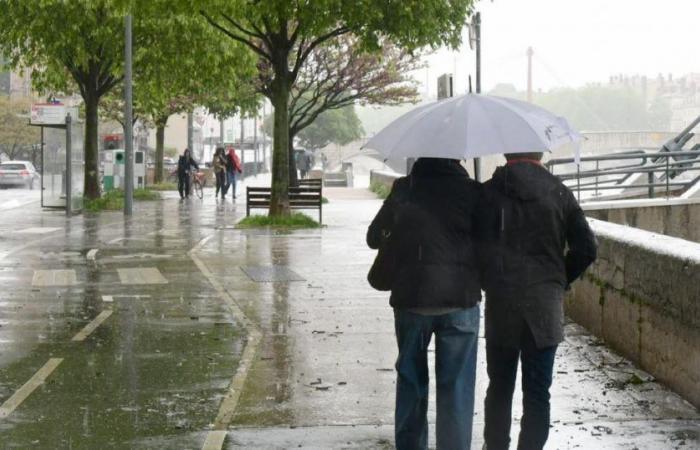
After a few days marked by heat, the cool weather is already back… We take stock of the weather for this election weekend.
This Friday
While the weather remained changeable from the southwest to the northeast of the country this Friday morning, with thunderstorms, potentially strong storms with hail will break out this afternoon in the Massif Central, near Lyon, Vichy, Aurillac, Gap and Montélimar, according to Météo France forecasts.
The risk of thunderstorms will shift during the day to Franche-Comté, Alsace and Rhône-Alpes. The Autan wind will blow up to 60 km/h in the afternoon and will strengthen further in the evening.
SATURDAY
Bis repetita. During the day, a new round of thunderstorms will develop from the southwest to the Massif Central and to the east, then shift towards the center-east and the northeast, towards Lyon, Chalon-sur-Saône, Bourg-Saint-Maurice or Metz, sometimes becoming violent, accompanied by strong gusts, hail and rain.
At 4 p.m. this Friday, Météo France placed 25 departments on orange storm alert for Saturday.
This content is blocked because you have not accepted cookies and other trackers.
Clicking on ” I accept “cookies and other trackers will be placed and you will be able to view the contents (more information).
Clicking on “I accept all cookies”you authorize the storage of cookies and other trackers for the storage of your data on our sites and applications for personalization and advertising targeting purposes.
You may withdraw your consent at any time by consulting our data protection policy.
Manage my choices
I accept
I accept all cookies
“It is on Saturday that the stormy development will reach its peak, with a risk of violent storms which could affect a large southern and eastern part of the country. The most violent storms could affect Franche-Comté, Lorraine and Alsace, Météo France still estimates. In these regions, cumulative rainfall of 50 to 80 mm in a short time, very strong gusts (up to 100 km/h), large hail and intense electrical activity are possible.
A move to orange vigilance is possible in several departments, particularly in the northeast, the forecasting body further warns.
Mercury side
As for temperatures, they have been falling since this Friday, with the exception of the extreme southeast quarter, with peaks at 36 to 37 degrees in the interior of Provence.
This drop will gradually become more widespread this weekend, despite a temporary increase in the northeast on Saturday before the storms. “The beginning of next week will see the return of somewhat timid temperatures” for the beginning of July, notes Météo France.
Sunday
In the morning, thunderstorms are still expected in Reims or Strasbourg, or precipitation, sometimes in the form of showers, in a large part of the north-east quarter, from Metz to Montélimar. In the afternoon, the Grand-Est, Bourgogne-Franche-Comté and Auvergne-Rhône-Alpes should still be under rain.


