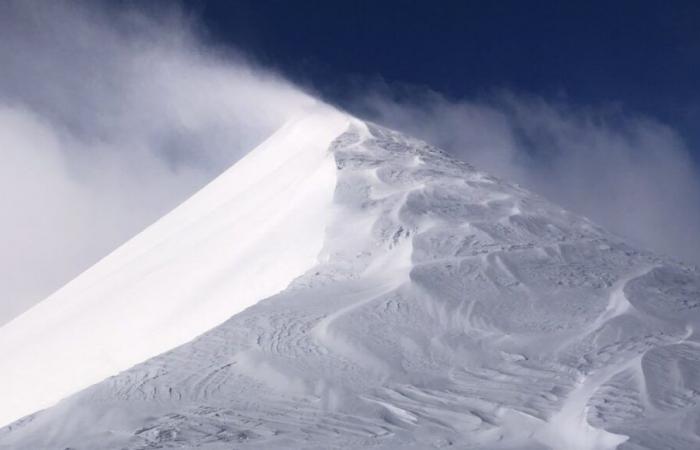
It is “a winter storm that occurs several times a year“explains Météo France, but which requires”special vigilance due to expected strong winds“. Orange vigilance for “wind” extends from the coast of Pays de la Loire and Gironde to the north of Auvergne-Rhône-Alpes.
“More than 150 km/h on the highest points of the Alps”
These risks of violent wind are linked to CAETANO depression. “The westerly wind sets in at the very beginning of Thursday on the Atlantic coast, then progresses quickly during the day towards the east of the country on a Poitou-Charentes/Northern Alps axis.“, observe the meteorologists. “Inland, gusts are generally around or exceed 100 km/h in the departments on orange alert, with peaks around 110 km/h more occasionally. Météo France specifies: “on the terrain we can reach more than 150 km/h on the highest points of the Alps.” Savoie and Haute-Savoie will be affected by these gusts of wind from this Thursday at the beginning of the afternoon.
Yellow warning for “snow”
Savoie and Haute-Savoie are also placed on yellow alert for “snow”. The episode is scheduled to start from noon this Thursday, November 21. “This Tuesday and Wednesday, we have already had heavy snowfall at altitude in Savoie and Haute-Savoie, we have a new disturbance arriving this Thursday, it will come into contact with the very cold air which will be in place and therefore we are going to have snow which will fall for a few hours, very low in the valley, very locally up to the plain but it will only be temporary since we have a slight mild spell which will arrive during the afternoon ” specifies Thomas Blanchard, independent meteorologist.
“In Tarentaise, in the Pays du Mont Blanc, in Chablais, in Beaufortain, it should snow from 300-500 meters then the rain-snow limit will gradually rise, however on the Pre-Alps side the passage of snow at low altitude will be very stealthy” adds Thomas Blanchard. “We could very locally have 10 to 15 cm of snow around 400-500 meters above sea level, particularly in Tarentaise and Haut Giffr.e). “Above 1,600 meters, we could still have 40 to 50 cm of snow, or locally 60 cm in the Mont Blanc massif and in Vanoise.”
France


