Temperature levels will be worthy of mid-winter over the next two days, as in January. Frosts will be frequent in the morning in the countryside, but not necessarily very severe (0 to -3°C on average). In the afternoon, values will not exceed 3 to 5°C in the northern half.
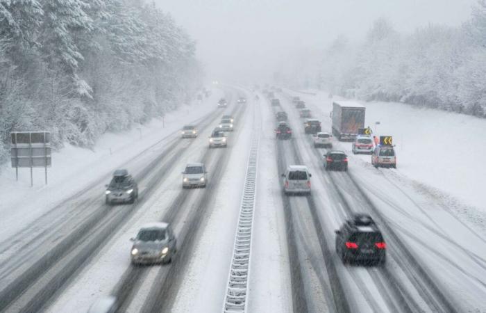
Apart from the cold, it is the snow which risks making the situation very delicate on the roads: the stormstorm Caetano will cross the country with snow over much of the north of the country.
Even if it is always very difficult to precisely predict the location and quantities of snow that may fall on the plains, Météo France estimates that we can expect:
- 1 to 3 cm possible in Paris – Petite Couronne, up to 7 cm in Essonne;
- up to 20 cm northeast on the Belfort side;
- 2 to 5 cm in the north and center of Brittany and inside Normandy, locally 10 cm on the Normandy hills.
This snow should be wet, and therefore sticky, with a significant risk for transport. Twenty-eight departments have therefore been placed on orange alert for the risk of snow on Thursday.
Great vigilance until Friday on the roads
South of the Caetano depression, temperatures will be higher, with violent winds over New Aquitaine, southern Brittany, Auvergne-Rhône-Alpes and the Corsican terrain. In the mountains, snow will fall abundantly: 30 to 50 cm above 1,500 meters in the Alps, 70 cm locally.
Friday will also be a risky day: severe frosts will occur on snow-covered ground, with some further snowfall in the northern half in the morning. The roads will then be particularly dangerous due to icy conditions. This winter weather will end on Saturday with a sharp rise in temperatures.


