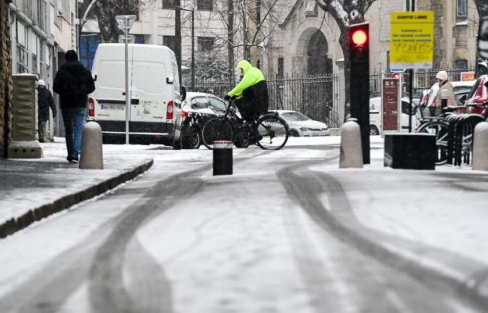
Winter is coming. While dry weather has persisted in recent days, the weather will change next week. But first, if for a moment the arrival of a Mediterranean flow and a rise in mercury were hoped for this weekend, the situation should ultimately remain stationary.
New frosts… starting this weekend
“We will remain within seasonal norms with maximums of between 8 and 9 degrees. New frosts could occur on Saturday morning with the presence of slightly freezing fog,” announces Stéphane Nedeljkovitch, from Météo News.
On Sunday, the high pressure weakens and the sky becomes cloudy. The end of the weekend could also be marked by the arrival of a disturbance which could bring a few drops to the department.
This content is blocked because you have not accepted cookies and other trackers.
By clicking on “I accept”cookies and other trackers will be placed and you will be able to view the contents (more information).
By clicking on “I accept all cookies”you authorize the storage of cookies and other trackers for the storage of your data on our sites and applications for personalization and advertising targeting purposes.
You can withdraw your consent at any time by consulting our data protection policy.
Manage my choices
I accept
I accept all cookies
From Monday, the return of depressions will lead to a significant drop in temperatures. The start of next week will be marked by the arrival of pressure in the atmosphere, favoring a risk of bad weather, in particular strong gales (southern sector in the department) and sustained precipitation (up to 25 mm in 24 hours in some areas).
Wednesday and Thursday, the cold persists and intensifies with minimums close to zero, temperatures struggle to exceed 5 to 6 degrees in the afternoon.
“Several centimeters of snow”?
Over the same period, Météo News also indicates that “sleers and showers of mixed rain and snow” are expected.
Before a snowy episode and potentially, on Thursday, “several centimeters of snow”, even if confidence regarding these forecasts still remains quite low.


