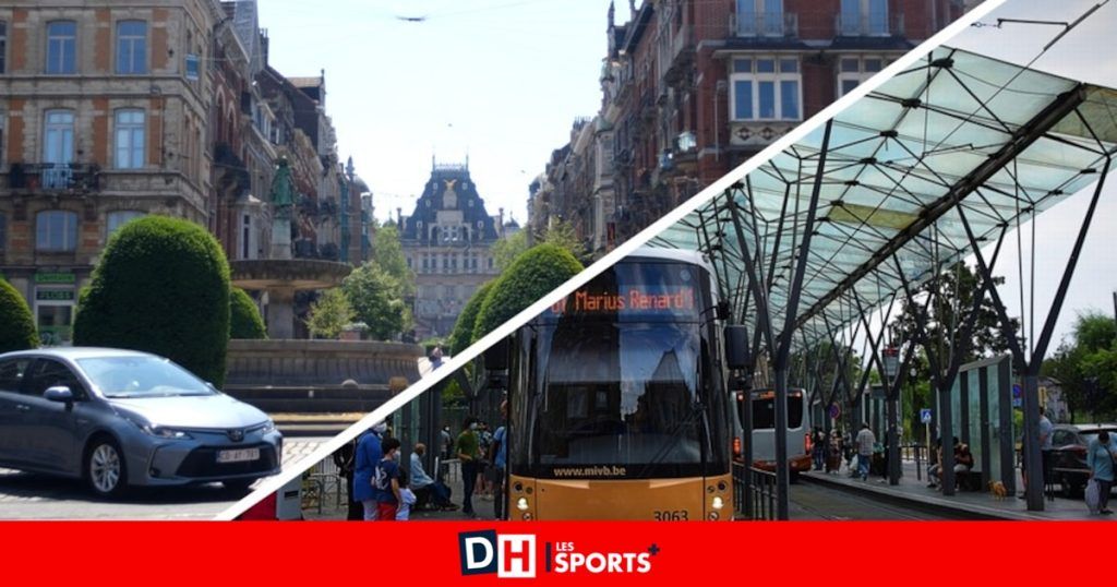

Two measurement points in particular concern activists. First, Place Flagey, near the tram stop, which reaches an average annual concentration of 33 µg/m3 of NO2. Including a peak at 44 µg/m3 in June 2024. The Barrière de Saint-Gilles then, measured at 28.6 µg/m3 of NO2 annually, with two peaks at 34.1 µg/m3 in January and March 2024. In Ixelles , Avenue de la Couronne at No. 105 (27.50 µg/m3) and Avenue Malibran at No. 72 (24.99 µg/m3) complete the podium. In Saint-Gilles, the leading trio closes with the streets of Mérode at number 19 (27.22 µg/m3) and rue du Denmark at number 2 (27.10 µg/m3). The Parvis, for its part, caps at 24.58 to 28.6 µg/m3 annually.
“These results show that certain places are hard hit by air pollution. However, they are places of play, relaxation and markets for many Brussels residents,” worries Pierre Dornier, Director of Researchers at Air. “Everything must be done by our elected officials to improve air quality, particularly where we spend a lot of time. This includes, among other things, maintaining the schedule of the Low Emission Zone (LEZ) and prioritization of active and shared mobility”, further pleads the activist. The agenda of which is not accidental: the next discussion concerning the postponement of the LEZ is scheduled for a plenary session of the Brussels Parliament this Friday, October 4, 2024, one week after it was recorded in the mobility committee.
The latest measurements prove it: air quality in Brussels is really not on track to comply with future European standards
It’s voted on, the LEZ is postponed, Ecolo and DéFI are shooting at everything: “a deplorable boxon”, “a return to the 50s”, “we’re playing with health”
The Air Researchers measured NO2 concentrations at 14 points in the Flagey district of Ixelles (above). 7 are located on the outskirts of the district (avenue de la Couronne, boulevard Général Jacques, avenue Louise, rue Lesbroussart, rue Malibran) and 7 others within the district itself (rue Vilain XIIII, square du Souvenir, avenue des Éperons d’Or , Chaussée de Boondael, Chaussée de Vleurgat, rue Jean Paquot). The association also took the pulse in 15 points in Saint-Gilles (below). 8 places are located on the outskirts of the district (avenue Van Volxem, avenue Fonsny, avenue de la Porte de Hal, avenue Louise, rue Defacqz, avenue Brugmann, avenue Albert, avenue du Parc, avenue Wielemans Ceuppens) and 6 others within the neighborhood (rue Antoine Bréart, Barrière, rue de Mérode, rue Émile Féron, Chaussée de Waterloo, rue d’école).
These two neighborhoods were not chosen at random: they are so-called “peaceful” neighborhoods, at least in part, or in the process of becoming so. The idea of the Air Researchers is to monitor their effectiveness. “They are part of the measures which, on paper, help to combat air pollution emitted by road traffic. There is little data which confirms or refutes this hypothesis,” notes the non-profit association. Thus, the first measures in Ixelles closely follow the introduction of the peaceful mesh in May 2023. The measures in Saint-Gilles, on the other hand, were launched shortly before the first upheavals. The mobility plan there was validated in July 2024 but depends on the construction site on Avenue du Parc and de la Barrière. “This will allow us to assess the impact of these two peaceful neighborhoods on air pollution.”
The non-profit organization’s measuring equipment consists of “passive” tubes developed by a Swiss laboratory, Passam. “These tubes are installed at a height of two meters in the street (on the sidewalk, on an intersection, etc.) for a period of thirty days,” explain Les Chercheurs d’Air. “They are replaced every month.”


)