This Tuesday, September 17, thunderstorms are expected in Corsica and in the South-Eastern departments due to storm Boris which is gradually moving towards the north of Italy.
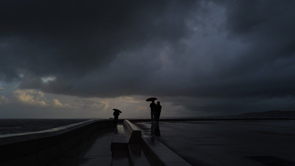
After wreaking havoc in Central and Eastern Europe and killing at least 18 people, Storm Boris is now moving south towards northern Italy. While not causing such devastating effects as in Romania or Austria, the storm will bring instability this Tuesday, September 17, in southeastern France, mainly between Corsica and Provence.
Early in the morning, the first thunderstorms were observed on the eastern side of the Isle of Beauty. In the afternoon, these showers will also affect the continent, from the Côte d’Azur to the Alps.
By the end of the day, they could even reach the surroundings of Marseille. Seven departments are currently on yellow storm alert (Haute-Corse, Corse-du-Sud, Alpes-Maritimes, Alpes-de-Haute-Provence, Var, Vaucluse, Bouches-du-Rhône).
A rise in temperatures in the afternoon
In the rest of France, there are many clouds occupying the sky from the north of France to the Massif Central at the start of the day. Light precipitation cannot be ruled out in Auvergne or near the territory of Belfort. On the other hand, the weather is clearer towards the Channel coast as far as Brittany.
In the afternoon, there will be beautiful clear spells between the Belgian borders and the Loire Valley to the south of Poitou-Charente, while the sky will remain mixed between the Massif Central and the eastern borders.
Thermometer-wise, temperatures will remain below seasonal averages in the morning before rising again in the afternoon with maximums between 18 and 23°C, or even 24 to 27°C on the Mediterranean coast. For example, it will be 20°C in Cherbourg, 21°C in Paris, 23°C in Nantes or Bordeaux and 27°C in Montpellier.


