Météo-France ended the orange snow-ice vigilance this Sunday morning for the twenty departments in the north-east of the country, after the end of the freezing rains. Before announcing a new orange vigilance for violent winds in the Loire and the Rhône.
On Monday, 21 departments in total, in the North-West and North-East, will be affected by this orange wind vigilance: still the Loire and the Rhône as well as Vendée, Maine-et-Loire, Indre-et-Loire, Sarthe, Loir-et-Cher, Loiret, Eure-et-Loir, the Ile-de-France departments, Aisne, Marne, Ardennes and Meuse.
This content is blocked because you have not accepted cookies and other trackers.
By clicking on “I accept”cookies and other trackers will be placed and you will be able to view the contents (more information).
By clicking on “I accept all cookies”you authorize the storage of cookies and other trackers for the storage of your data on our sites and applications for personalization and advertising targeting purposes.
You can withdraw your consent at any time by consulting our data protection policy.
Manage my choices
I accept
I accept all cookies
The wind is already blowing very hard
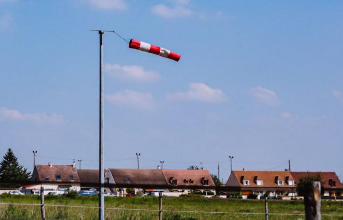
The Loire and the Rhône were placed on orange alert from 8 p.m. this Sunday due to a “violent gale” linked to a disturbance on the Atlantic sides. The wind is already blowing very hard. “In the south of the departments, the southerly wind intensifies during the day this Sunday until reaching values exceeding 90 to 100 km/h in gusts during the night. We can locally reach values around 110 to 120 km/h,” indicates Météo-France. “Two peaks of violent wind are likely: the first in the middle of the night from Sunday to Monday, the second late morning-midday on Monday. »
This content is blocked because you have not accepted cookies and other trackers.
By clicking on “I accept”cookies and other trackers will be placed and you will be able to view the contents (more information).
By clicking on “I accept all cookies”you authorize the storage of cookies and other trackers for the storage of your data on our sites and applications for personalization and advertising targeting purposes.
You can withdraw your consent at any time by consulting our data protection policy.
Manage my choices
I accept
I accept all cookies
Storm Floriane
Early Monday morning, storm Floriane will arrive in France via Vendée. “It is accompanied by gusts of around 90 to 100 km/h. We will occasionally be able to reach 110km/h. It shifts towards the Paris region at midday then the North-Eastern regions at the start of the afternoon, before quickly evacuating towards Belgium,” writes Météo-France.
A mild air mass settled in this Sunday
This Sunday, meteorologists ended the snow-ice vigilance by explaining that “a disturbance associated with a mild air mass” was “sweeping the entire country, in a southwest/north direction. -East. This mild air puts an end to the snow and freezing rain that required monitoring.”
A 20-year-old young man died on Saturday on the A6 in Côte-d'Or in an accident probably due to the disturbance which crossed the north and east of France during this last weekend of the Christmas holidays.
France


