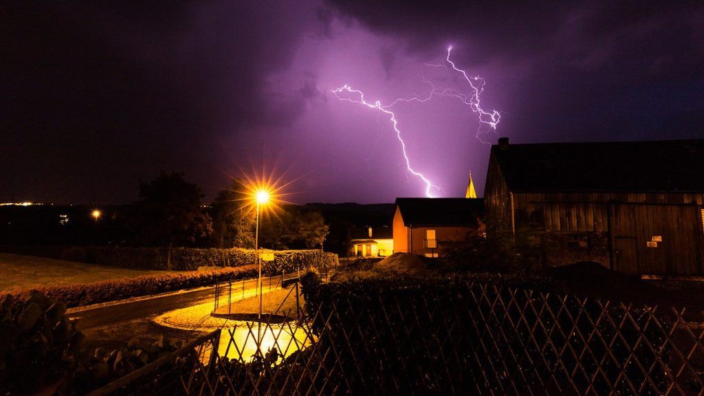
Severe thunderstorms have been forecast for this Saturday evening. Meteolux has placed all of Luxembourg on orange alert. Same thing in France, where the entire Grand Est is targeted by an orange alert.
On weather radars, a large storm cell is visible Saturday evening. Depending on the calculation model, the Grand Duchy will be hit more or less hard.
Contacted by RTLa meteorologist from Kachelmannwetter says that the Luxembourg risks being completely affected Saturday evening between 9:00 p.m. and 11:00 p.m.
Still according to this meteorologist, heavy rains could also hit our regions during storms. We should expect quantities of between between 20 and 40 liters per square meter, or even locally up to 60l/m². These weather events would be accompanied by “fairly strong” stormsa mixture which would therefore cause flooding in places or dangerous phenomena such as uprooted trees, “all models go in this direction“, indicates the specialist contacted by RTL.
After issuing a yellow alert on Friday afternoon, for the period between 8:00 p.m. Saturday evening and 1:00 p.m. Sunday, Météolux readjusted its forecasts by changing the alert to orange on Saturday shortly before 5:30 p.m. Strong thunderstorms with a possibility of hail, heavy showers and very strong wind gusts are forecast for the entire country from 8 p.m. to midnight.
Wind gusts of up to 100 km/h and precipitation of up to 30 to 40 liters per square meter are forecast.
Hail the size of a ping pong ball in Moselle
In France, the Meuse, the Ardennes, the Moselle, the Meurthe-et-Moselle, the Bas-Rhin, the Vosges, and the Haut-Rhin are particularly affected by a orange thunderstorm alert.
Météo France announces that in the afternoon and evening, “a stormy burst will circulate from the southwest to the northeast of the country”. According to this same source, the storms “will be particularly virulent” in the Grand-Estwith rainfall totals of up to “50 to 80 millimetres in a short period of time” and “very strong gusts of wind” and “large hail”.
At 2:30 p.m. on Saturday, the Moselle prefecture specified that the orange alert was valid from 4 p.m. on Saturday to 4 a.m. on Sunday. “Phenomena described as “remarkable” (occurring only every 2/3 years) by Météo France could be violent, particularly from 7 p.m. to midnight” she says.
Winds of up to 120 km/h are expected locally, the cumulative rainfall could exceed 8 cm in two or three hours and 5 cm in less than an hour, the equivalent of a month of precipitation. Large hail up to the size of a ping pong ball could fall in places.
The Moselle prefect has requested that events taking place outdoors from 6 p.m. (demonstrations, gatherings, etc.) be cancelled.
Finally, the prefecture advises residents to limit their movements and take shelter, not to shelter under an umbrella, under trees or against a wall and not to touch electrical wires that have fallen to the ground.


