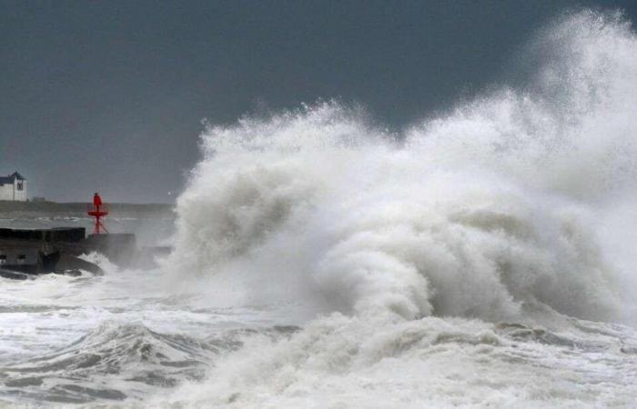
Gusts could reach 80 to 90 km/h on the coasts and up to 100 km/h more locally, from Brittany to Nord-Pas-de-Calais, with rain. From Vendée to the Ardennes, peaks of around fifty km/h will also be reached. The wind could begin to blow as early as Thursday afternoon, when the storm forms in the Atlantic, before strengthening on Friday. For the moment Météo France does not foresee any dangerous phenomena in the country and has not planned to trigger orange vigilance.
Storm #Eowyn will hit the UK hard on Friday. We will speak of a weather bomb because the pressure drop will be well above 24 hPa in 24 hours. This depression will also come into phase with a powerful jet stream (>280 km/h) ????????️
[image or embed]
— lachainemeteo.bsky.social (@lachainemeteo.bsky.social) January 21, 2025 at 1:18 p.m.
-
“Destroying winds” in Ireland
In Ireland, gusts of up to 170 km/h are expected, with waves up to 10 meters, raising fears of numerous submergences on the coast, according to La Chaîne Météo. Inland, 140 km/h could be exceeded. The situation will also be complicated in the north of the United Kingdom, in Scotland in particular. The Met Office, the British national meteorological service, will issue red and orange alerts, citing a “danger to life”, with “damaging and destructive” winds.
England should remain on the sidelines of these winds, with gusts around 90 km/h in the London basin. It will be a hollow storm, that is to say with low atmospheric pressure. According to forecasts, this pressure could drop by more than 24 hectopascals in 24 hours, demonstrating its power. We therefore speak of a “weather bomb” to describe this phenomenon.


