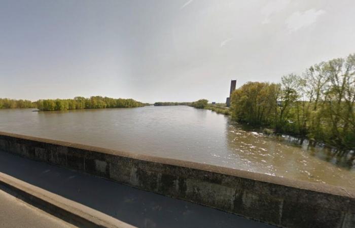
A very long period without disaster has made it forgotten but a flood of the Loire valley of the magnitude of the great historic floods of 1846, 1856 and 1866 is still possible despite the developments carried out since on the Loire basin and maintenance and strengthening work on dikes. Indeed, if the dikes protect a large number of valleys from frequent floods, these structures can fail during major events. There have been numerous dike failures in the past, particularly in the Bréhémont and Langeais valleys. The feeling of security due to the very existence of dikes, the pressure on land near towns and major infrastructures, have led the territory to accommodate ever more inhabitants and activities in these areas which remain subject to flooding. The damage caused by a new major flood would be out of all proportion to that caused by the floods of 19e century. To reduce the vulnerability of the territory, its inhabitants, its economic fabric, its environment, and for your safety, a Plan for the prevention of foreseeable natural flood risks (PPRI) of the Bréhémont – Langeais valleys was approved by the prefect of Indre-et-Loire on June 21, 2002. It is now appropriate to revise this document concerning the 11 municipalities in this area: Avoine, Bréhémont, La Chapelle-aux-Naux, Cinq-Mars-la-Pile, Huismes, Langeais, Lignières-de-Touraine, Rigny-Ussé, Rivarennes, Savigny-en-Véron, Vallères. Pending its revision, the PPRI of the Vals de Bréhémont – Langeais approved on June 21, 2002 is applied.
Why initiate the revision of the PPRI?
The updating of knowledge on the risk of flooding and the need for a qualification of the hazard more adapted to the risk have led the State to initiate the revision of the PPRI of the Vals de Bréhémont – Langeais approved on June 21, 2002. Studies carried out in recent years have made it possible to clarify and deepen the knowledge and understanding of flooding phenomena and their consequences on the territory. This new knowledge gives rise to measures aimed at strengthening risk prevention, in particular by controlling urbanization in exposed areas. On February 27, 2024, the prefect of Indre-et-Loire informed (PALC) the elected officials of the PPRI perimeter of the Vals de Bréhémont – Langeais the new information available as well as the measures to be implemented. More particularly, the characteristics of flooding in the PPRI territory depend largely on the presence of dikes, as in a very large part of the middle Loire. Hazard studies carried out in recent years have provided a lot of new knowledge on the behavior of these structures, their limits and the consequences of their failures.
The revision procedure in practice
The revision of the PPRI is led by the State represented by the Prefect, and its instructing service: the Departmental Directorate of Territories (DDT). It is carried out in consultation with elected officials and residents of the area. The prefectural order prescribing the revision of the PPRI provides for two phases of consultation. The consultation offers the opportunity for a real exchange between State services, elected officials and the population concerned, so that everyone can appropriate knowledge of the risk and participate in the implementation of the prevention policy. risks. The first phase of consultation concerns the hazard map project, it is organized from November 18 to December 20, 2024. A consultation file on the hazard is made available to the public at the town hall in each of the 11 municipalities concerned, it includes the hazard map as well as a presentation note explaining the phenomenon of flooding in the territory and the methodology for developing this hazard map. An exhibition retracing the process of developing the PPRI hazard map is installed in each of the municipalities concerned. Three public meetings are organized, including Thursday November 21, 2024 at 7 p.m., in Avoine, village hall, rue de l'ardoise. These meetings, led by the Departmental Territorial Directorate (DDT), aim to explain the nature of the flood risk in the municipalities concerned, to present the revised PPRI hazard map to residents and to answer their questions. During the consultation period, everyone can share their observations and ask questions:
– either by mail to the attention of the Prefect of Indre-et-Loire, SAIPP/Environment Office, 37925 Tours Cedex 9;
– or by email to [email protected].
Find all the documents on https://www.indre-et-loire.gouv.fr/Actions-de-l-Etat/Risques-naturels-et-technologique/Plan-de-prevention-des-risks-plombages/PPRI-Vals-d e-Brehemont-Langeais?fbclid=IwY2xjawGr3GFleHRuA2FlbQIxMAABHSpEjuk5xdoTpaaXDH8ezTel3QCQKtz8JhPoTaDnteOGyJ8Tp-_jjsZrgg_aem_M4dCPOnNUeLTs5DLKyl5vw


